Export Processing Zone · China

Minxian Industrial Park, Gansu Active
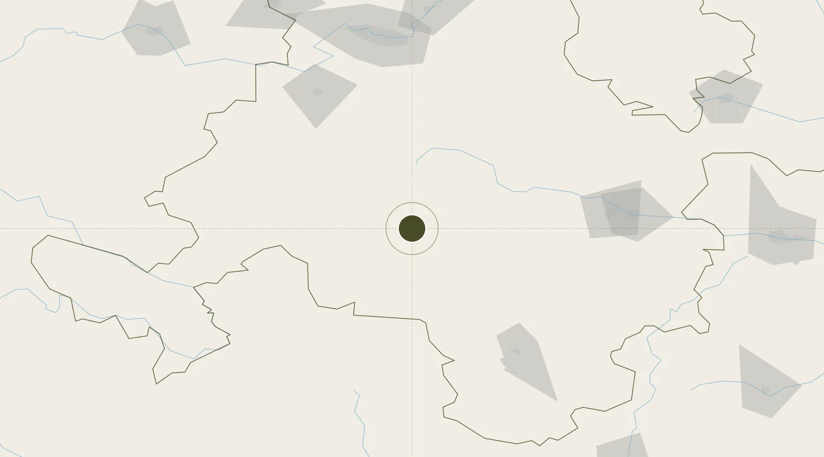
34.4434°, 104.0284°
648 ha
Zone area
1,052.3 km
Nearest port
97.8 km
Nearest airport

Gateway access

Nearest neighbours — logibook spatial index (haversine) over the source coordinates

Zone profile

Zone type
Export Processing Zone
Open Zone Map
Region
Gansu
Open Zone Map
Status
Active
Open Zone Map
Management
Public
Open Zone Map
Operator
Management Committee of Gansu Minxian Industrial Park
Open Zone Map
Legal framework
Unavailable
Open Zone Map

Location

Location of ozm-1194
Natural Earth 10m (public domain) · Gansu · ozm-1194 · 34.44, 104.03GoogleOSMYandex

Nearby Logistics Neighbours

Ports
  1. 1Hankow1052 km
  2. 2Tianjin Xin Gang1328 km
  3. 3Nanjing1392 km
  4. 4Lanshan1402 km
  5. 5Lianyungang1411 km
Nearest neighbours — logibook spatial index (haversine) over the source coordinates
Airports
  1. 1Lintao Air Base98 km
  2. 2Gannan Xiahe Airport135 km
  3. 3Lanzhou Air Base165 km
  4. 4Tianshui Maijishan Airport168 km
  5. 5Longnan Chengzhou Airport178 km
Nearest neighbours — logibook spatial index (haversine) over the source coordinates
Cities
  1. 1Dingxi136 km
  2. 2Tianshui155 km
  3. 3Lanzhou181 km
  4. 4Gaolan209 km
  5. 5Bayin235 km
Nearest neighbours — logibook spatial index (haversine) over the source coordinates
DatabookThe Record of Consolidated Knowledge
China beyond logistics?
Browse databook

All Sources

Trade ZonesOpen Zone Map
CC BY
Portsthe NGA World Port Index
Public domain (US gov)
AirportsOurAirports
Public domain
LocationsUN/LOCODE
UN/LOCODE — free
← China trade zones