Export Processing Zone · China
Gansu Guanghe Economic Development Zone Active
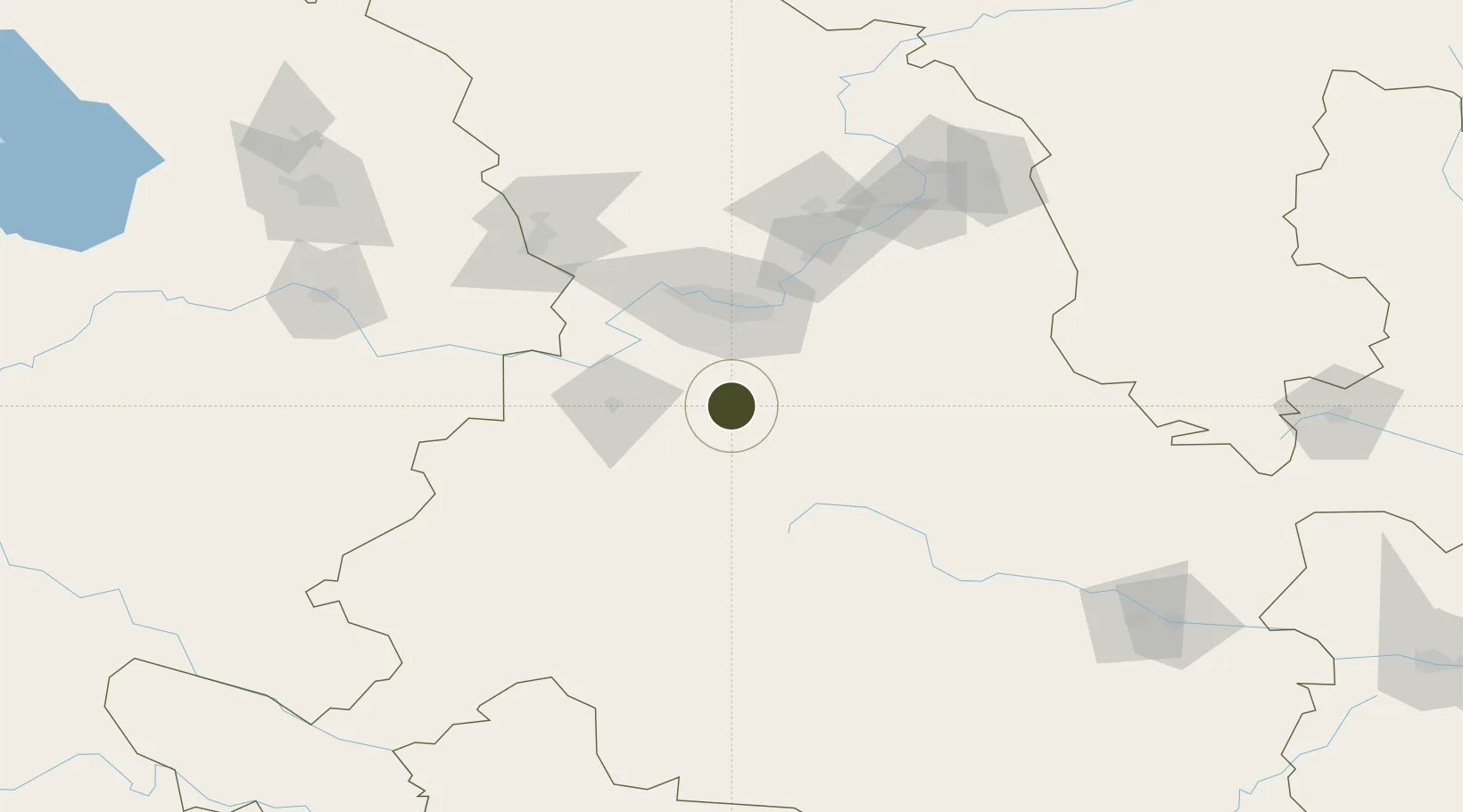
35.5943°, 103.7923°
708 ha
Zone area
1,124.1 km
Nearest port
32.0 km
Nearest airport
Gateway access
Zone profile
Zone type
Export Processing Zone
Region
Gansu
Status
Active
Management
Public
Operator
Management Committee of Gansu Guanghe Economic Development Zone
Legal framework
Linxia wide river in gansu province economic development zone is 1992 approved by the committee of the state is one of the first national economic demonstration zone, in 1994 (economic and trade commission, gansu province, gansu XiangZhenKe word [1994] no
Location
Nearby Logistics Neighbours
Ports
- 1Hankow1124 km
- 2Tianjin Xin Gang1296 km
- 3Fang-Cheng1602 km
- 4Qinzhou1610 km
- 5Beihai1651 km
Airports
- 1Lintao Air Base32 km
- 2Lanzhou Air Base53 km
- 3Lanzhou Zhongchuan International Airport104 km
- 4Gannan Xiahe Airport137 km
- 5Xining Caojiabao International Airport189 km
DatabookThe Record of Consolidated Knowledge
China beyond logistics?