Transport Functions
Multimodal
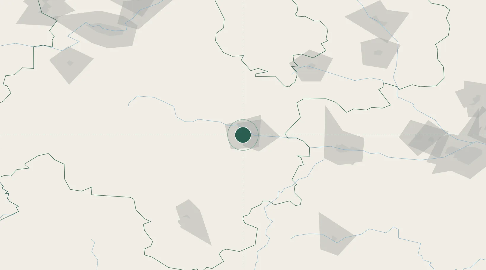
Hub Profile
Place type
District seat
Region
Gansu
Population
1,212,791
Time zone
Asia/Shanghai
Elevation
1,153 m
Location
Nearby Logistics Neighbours
Ports
- 1Hankow916 km
- 2Tianjin Xin Gang1184 km
- 3Nanjing1241 km
- 4Lanshan1246 km
- 5Lianyungang1255 km
Airports
- 1Tianshui Maijishan Airport13 km
- 2Longnan Chengzhou Airport87 km
- 3Baoji Air Base161 km
- 4Guyuan Liupanshan Airport174 km
- 5Lintao Air Base190 km
DatabookThe Record of Consolidated Knowledge
China beyond logistics?