Free Trade Zone · China

Dangchang County Industrial Concentration Zone Active
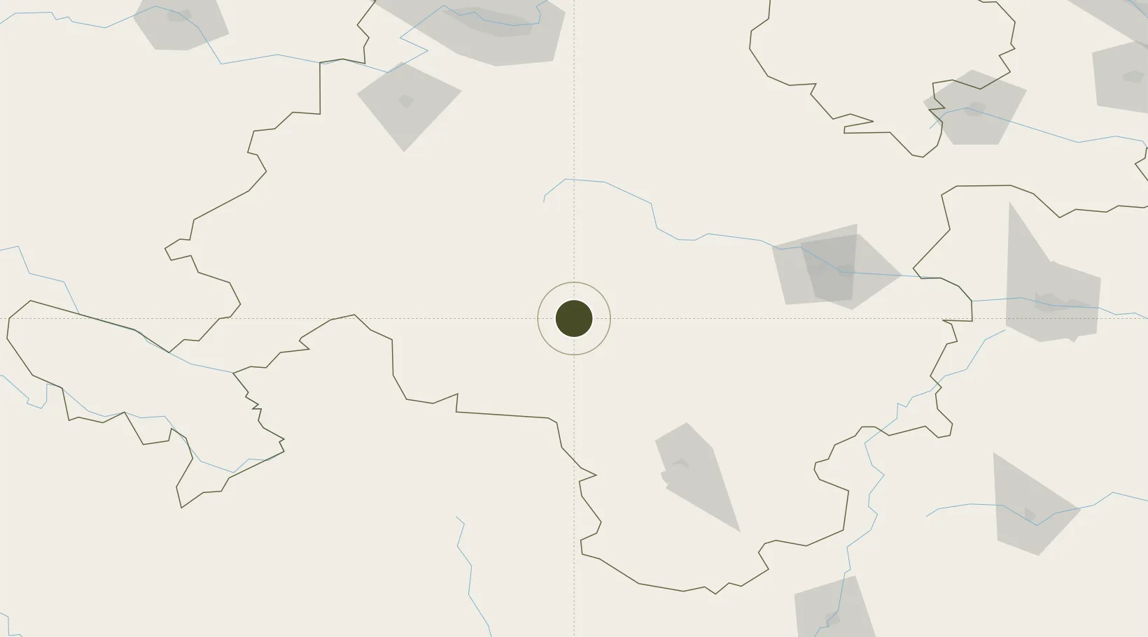
34.2763°, 104.2505°
343 ha
Zone area
1,026.6 km
Nearest port
120.8 km
Nearest airport

Gateway access

Nearest neighbours — logibook spatial index (haversine) over the source coordinates

Zone profile

Zone type
Free Trade Zone
Open Zone Map
Region
Gansu
Open Zone Map
Status
Active
Open Zone Map
Management
Public
Open Zone Map
Operator
Management Committee of Dangchang County Industrial Concentration Zone
Open Zone Map
Legal framework
Development Planning of Dangchang County Industrial Concentration Zone (2015-2020)
Open Zone Map

Location

Location of ozm-1508
Natural Earth 10m (public domain) · Gansu · ozm-1508 · 34.28, 104.25GoogleOSMYandex

Nearby Logistics Neighbours

Ports
  1. 1Hankow1027 km
  2. 2Tianjin Xin Gang1318 km
  3. 3Nanjing1370 km
  4. 4Lanshan1384 km
  5. 5Lianyungang1392 km
Nearest neighbours — logibook spatial index (haversine) over the source coordinates
Airports
  1. 1Lintao Air Base121 km
  2. 2Tianshui Maijishan Airport151 km
  3. 3Longnan Chengzhou Airport152 km
  4. 4Gannan Xiahe Airport161 km
  5. 5Jiuzhai Huanglong Airport167 km
Nearest neighbours — logibook spatial index (haversine) over the source coordinates
Cities
  1. 1Tianshui138 km
  2. 2Dingxi147 km
  3. 3Lanzhou202 km
  4. 4Gaolan229 km
  5. 5Bayin253 km
Nearest neighbours — logibook spatial index (haversine) over the source coordinates
Trade Zones
  1. 1Minxian Industrial Park, Gansu28 km
  2. 2Gansu Longxi Economic Development Zone86 km
  3. 3Industrial Concentration Zone in Wudu District110 km
  4. 4Tongwei County Industrial Concentration Zone140 km
  5. 5Longnan Economic Development Zone150 km
Nearest neighbours — logibook spatial index (haversine) over the source coordinates
DatabookThe Record of Consolidated Knowledge
China beyond logistics?
Browse databook

All Sources

Trade ZonesOpen Zone Map
CC BY
Portsthe NGA World Port Index
Public domain (US gov)
AirportsOurAirports
Public domain
LocationsUN/LOCODE
UN/LOCODE — free
← China trade zones