Export Processing Zone · China

Dingxi Economic Development Zone, Gansu Active
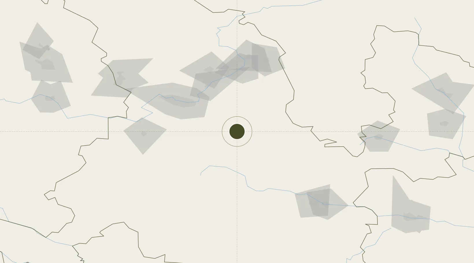
35.6357°, 104.6033°
3,260 ha
Zone area
1,061.5 km
Nearest port
46.8 km
Nearest airport

Gateway access

Nearest neighbours — logibook spatial index (haversine) over the source coordinates

Zone profile

Zone type
Export Processing Zone
Open Zone Map
Region
Gansu
Open Zone Map
Status
Active
Open Zone Map
Management
Public
Open Zone Map
Operator
Dingxi Economic Development Zone Management Committee
Open Zone Map
Legal framework
Unavailable
Open Zone Map

Location

Location of ozm-1396
Natural Earth 10m (public domain) · Gansu · ozm-1396 · 35.64, 104.60GoogleOSMYandex

Nearby Logistics Neighbours

Ports
  1. 1Hankow1062 km
  2. 2Tianjin Xin Gang1226 km
  3. 3Tangshan (Jingtang)1331 km
  4. 4Lanshan1339 km
  5. 5Lianyungang1352 km
Nearest neighbours — logibook spatial index (haversine) over the source coordinates
Airports
  1. 1Lanzhou Air Base47 km
  2. 2Lintao Air Base78 km
  3. 3Lanzhou Zhongchuan International Airport132 km
  4. 4Guyuan Liupanshan Airport154 km
  5. 5Tianshui Maijishan Airport166 km
Nearest neighbours — logibook spatial index (haversine) over the source coordinates
Cities
  1. 1Dingxi8 km
  2. 2Lanzhou83 km
  3. 3Gaolan97 km
  4. 4Bayin108 km
  5. 5Tianshui156 km
Nearest neighbours — logibook spatial index (haversine) over the source coordinates
DatabookThe Record of Consolidated Knowledge
China beyond logistics?
Browse databook

All Sources

Trade ZonesOpen Zone Map
CC BY
Portsthe NGA World Port Index
Public domain (US gov)
AirportsOurAirports
Public domain
LocationsUN/LOCODE
UN/LOCODE — free
← China trade zones