Specialized Zone · Philippines
Luisa Avenue Square IT Center Active
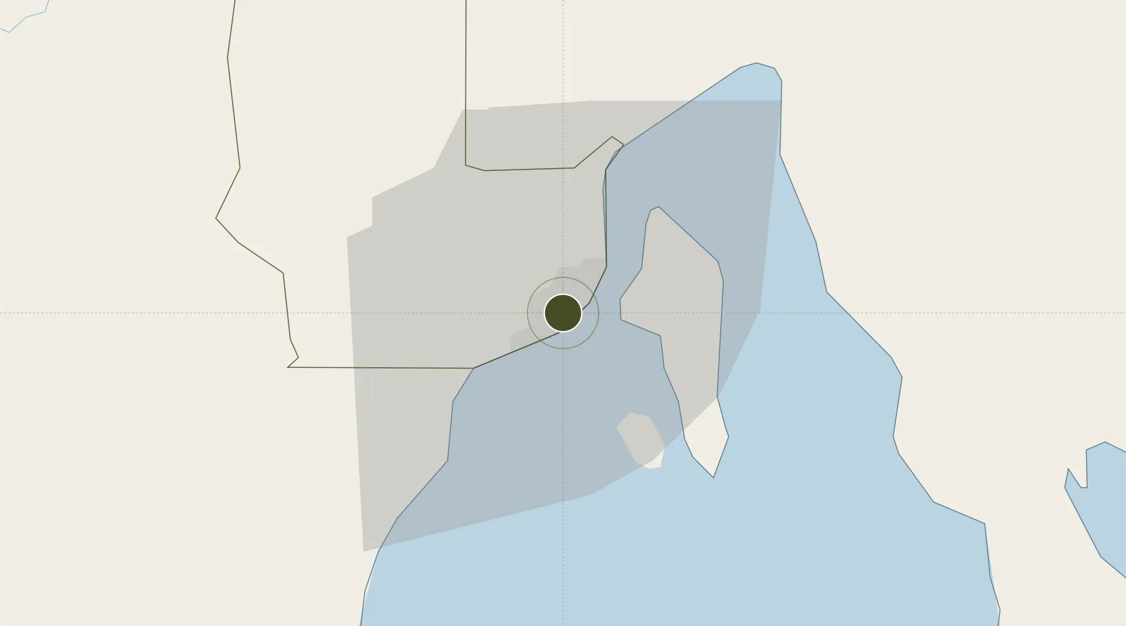
7.0775°, 125.6096°
0 ha
Zone area
1.4 km
Nearest port
6.7 km
Nearest airport
Gateway access
Zone profile
Zone type
Specialized Zone
Specialization
IT
Region
Davao
Status
Active
Management
Private
Operator
Plaza De Luisa Development, Inc.
Legal framework
Special Economic Zone Act (Republic Act No. 7916)
(as amended by Republic Act No. 8748)
Location
Nearby Logistics Neighbours
Ports
- 1Davao1 km
- 2Mati69 km
- 3General Santos117 km
- 4Mangagoy150 km
- 5Polloc (Cotabato)157 km
Airports
- 1Francisco Bangoy International Airport7 km
- 2Mati National Airport75 km
- 3Central Mindanao Airport78 km
- 4Rajah Buayan Air Base116 km
- 5Allah Valley Airport123 km
Cities
- 1Davao, Mindanao11 km
- 2DICT / SVT25 km
- 3Panabo26 km
- 4Astorga28 km
- 5Boston/Davao120 km
Trade Zones
- 1ACI IT Business Centre1 km
- 2NCCC Davao IT Center1 km
- 3C55 Realty Corp. Building1 km
- 4Aeon Towers2 km
- 5Felcris Centrale2 km
DatabookThe Record of Consolidated Knowledge
Philippines beyond logistics?