Specialized Zone · Philippines

NCCC Davao IT Center Inactive
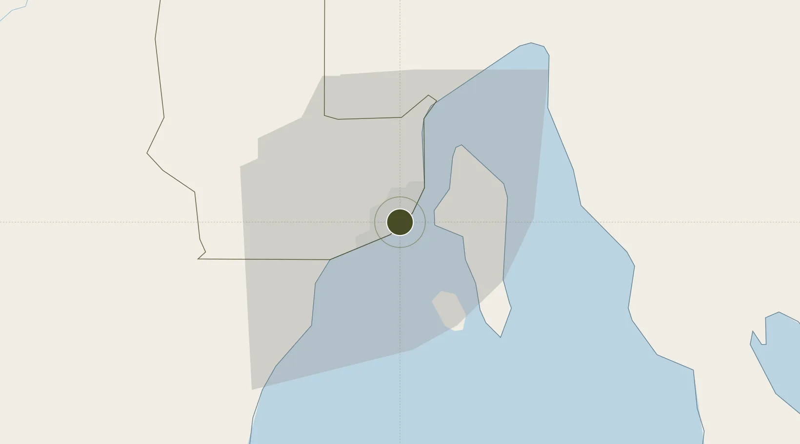
7.0747°, 125.6195°
3 ha
Zone area
0.9 km
Nearest port
6.4 km
Nearest airport

Gateway access

Nearest neighbours — logibook spatial index (haversine) over the source coordinates

Zone profile

Zone type
Specialized Zone
Open Zone Map
Specialization
IT
Open Zone Map
Region
Davao
Open Zone Map
Status
Inactive
Open Zone Map
Management
Private
Open Zone Map
Operator
LTS Malls, Inc.
Open Zone Map
Legal framework
Special Economic Zone Act (Republic Act No. 7916) (as amended by Republic Act No. 8748), Proclamation No. 566, s. 2013
Open Zone Map

Location

Location of ozm-3762
Natural Earth 10m (public domain) · Davao · ozm-3762 · 7.07, 125.62GoogleOSMYandex

Nearby Logistics Neighbours

Ports
  1. 1Davao1 km
  2. 2Mati67 km
  3. 3General Santos117 km
  4. 4Mangagoy150 km
  5. 5Polloc (Cotabato)158 km
Nearest neighbours — logibook spatial index (haversine) over the source coordinates
Airports
  1. 1Francisco Bangoy International Airport6 km
  2. 2Mati National Airport74 km
  3. 3Central Mindanao Airport79 km
  4. 4Rajah Buayan Air Base116 km
  5. 5Allah Valley Airport124 km
Nearest neighbours — logibook spatial index (haversine) over the source coordinates
Cities
  1. 1Davao, Mindanao11 km
  2. 2DICT / SVT25 km
  3. 3Panabo26 km
  4. 4Astorga28 km
  5. 5Boston/Davao119 km
Nearest neighbours — logibook spatial index (haversine) over the source coordinates
Trade Zones
  1. 1C55 Realty Corp. Building1 km
  2. 2Luisa Avenue Square IT Center1 km
  3. 3ACI IT Business Centre1 km
  4. 4Felcris Centrale2 km
  5. 5Aeon Towers2 km
Nearest neighbours — logibook spatial index (haversine) over the source coordinates
DatabookThe Record of Consolidated Knowledge
Philippines beyond logistics?
Browse databook

All Sources

Trade ZonesOpen Zone Map
CC BY
Portsthe NGA World Port Index
Public domain (US gov)
AirportsOurAirports
Public domain
LocationsUN/LOCODE
UN/LOCODE — free
← Philippines trade zones