Export Processing Zone · China

Wuhu Sanshan Economic Development Zone Active
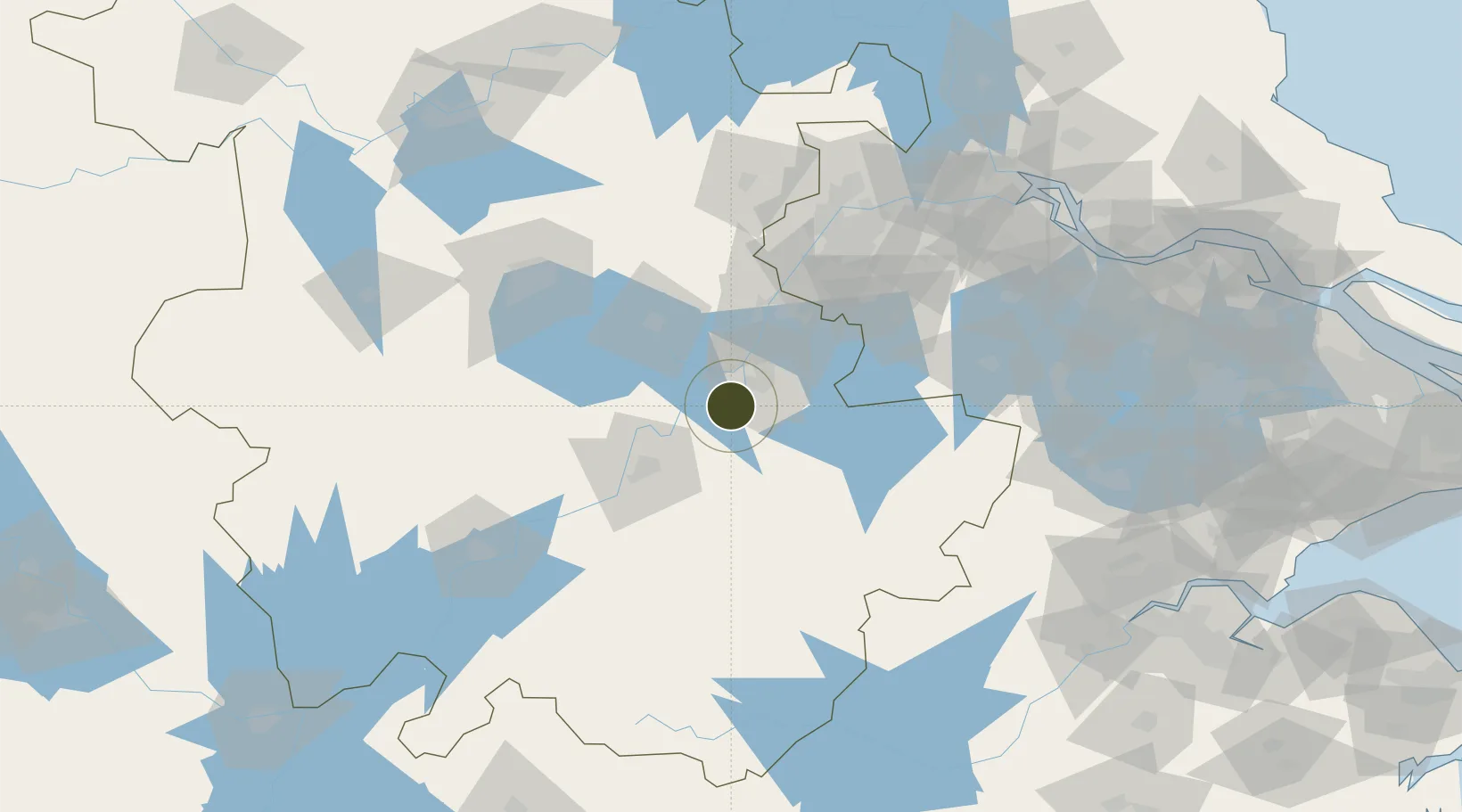
31.2326°, 118.2434°
1,750 ha
Zone area
106.1 km
Nearest port
42.7 km
Nearest airport

Gateway access

Nearest neighbours — logibook spatial index (haversine) over the source coordinates

Zone profile

Zone type
Export Processing Zone
Open Zone Map
Region
Anhui
Open Zone Map
Status
Active
Open Zone Map
Management
Public
Open Zone Map
Operator
Management Committee of Sanshan Economic Development Zone
Open Zone Map
Legal framework
Construction began in March 2001, with a planned area of 10 square kilometers and a planned area of 3.5 square kilometers in the first phase. In October 2004, it was named the National Agricultural Product processing industry Demonstration base by the Min
Open Zone Map

Location

Location of ozm-1332
Natural Earth 10m (public domain) · Anhui · ozm-1332 · 31.23, 118.24GoogleOSMYandex

Nearby Logistics Neighbours

Ports
  1. 1Nanjing106 km
  2. 2Zhenjiang157 km
  3. 3Yangzhou161 km
  4. 4Changzhou184 km
  5. 5Gaogang192 km
Nearest neighbours — logibook spatial index (haversine) over the source coordinates
Airports
  1. 1Wuhu Xuanzhou Airport43 km
  2. 2Chizhou Jiuhuashan Airport76 km
  3. 3Nanjing Lukou International Airport81 km
  4. 4Feidong Air Base93 km
  5. 5Anqing Tianzhushan Airport / Anqing North Air Base135 km
Nearest neighbours — logibook spatial index (haversine) over the source coordinates
Cities
  1. 1Wuhu21 km
  2. 2zhengpugang Pt47 km
  3. 3Xuancheng49 km
  4. 4Tongling54 km
  5. 5Chaohu55 km
Nearest neighbours — logibook spatial index (haversine) over the source coordinates
DatabookThe Record of Consolidated Knowledge
China beyond logistics?
Browse databook

All Sources

Trade ZonesOpen Zone Map
CC BY
Portsthe NGA World Port Index
Public domain (US gov)
AirportsOurAirports
Public domain
LocationsUN/LOCODE
UN/LOCODE — free
← China trade zones