Specialized Zone · Philippines

BatStateU Knowledge, Innovation and Science Technology Park Under Development
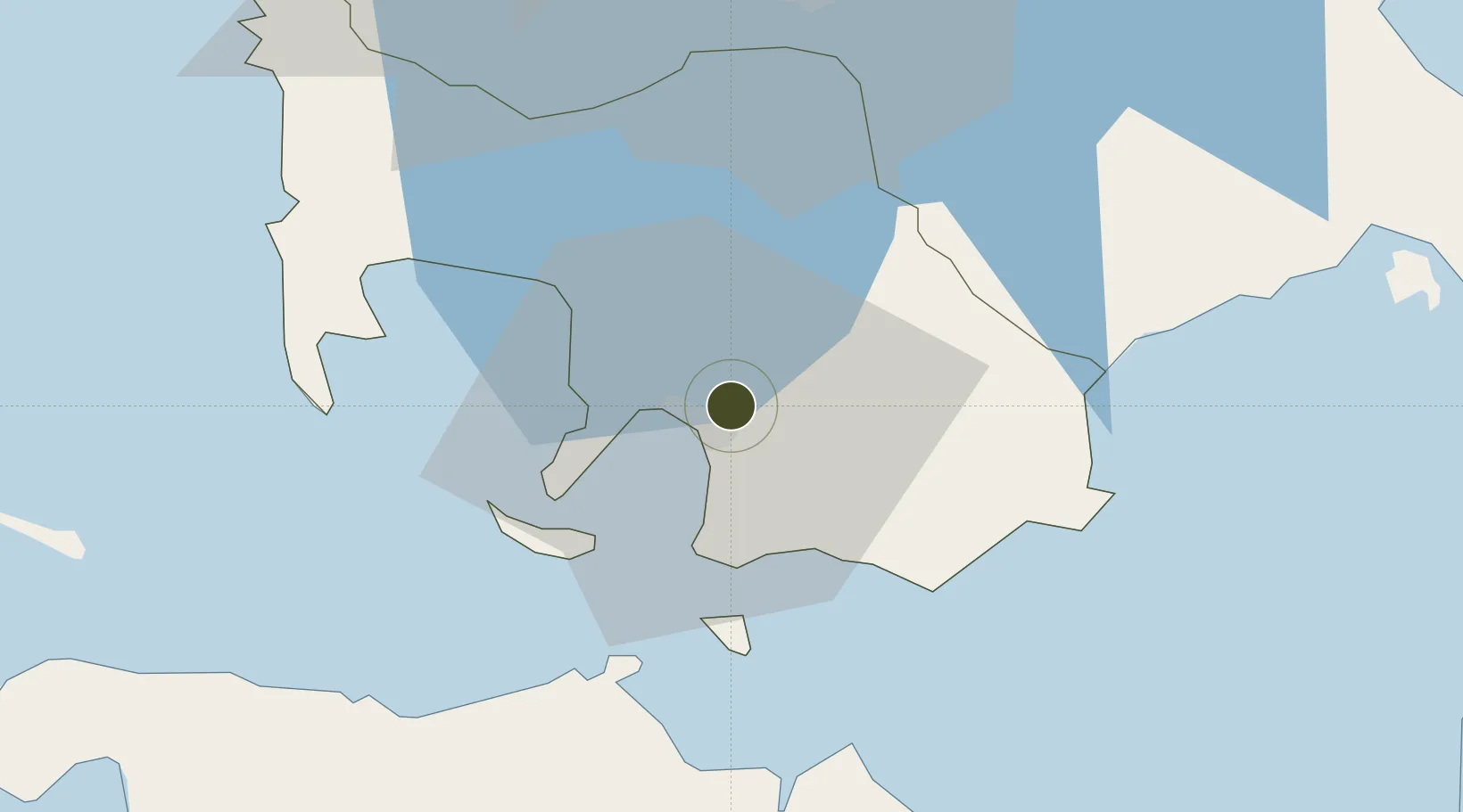
13.7841°, 121.0742°
3 ha
Zone area
4.6 km
Nearest port
80.8 km
Nearest airport

Gateway access

Nearest neighbours — logibook spatial index (haversine) over the source coordinates

Zone profile

Zone type
Specialized Zone
Open Zone Map
Specialization
IT
Open Zone Map
Region
Batangas
Open Zone Map
Status
Under Development
Open Zone Map
Management
Public
Open Zone Map
Operator
Batangas State University and PEZA
Open Zone Map
Legal framework
Special Economic Zone Act (Republic Act No. 7916) (as amended by Republic Act No. 8748)
Open Zone Map

Location

Location of ozm-3752
Natural Earth 10m (public domain) · Batangas · ozm-3752 · 13.78, 121.07GoogleOSMYandex

Nearby Logistics Neighbours

Ports
  1. 1Batangas City5 km
  2. 2Calapan43 km
  3. 3Nasugbu60 km
  4. 4Manila90 km
  5. 5Mariveles96 km
Nearest neighbours — logibook spatial index (haversine) over the source coordinates
Airports
  1. 1Ninoy Aquino International Airport81 km
  2. 2Danilo Atienza Air Base81 km
  3. 3Mamburao Airport82 km
  4. 4Marinduque Airport94 km
  5. 5Lubang Airport105 km
Nearest neighbours — logibook spatial index (haversine) over the source coordinates
Cities
  1. 1Bauan/Batangas8 km
  2. 2Batangas/Luzon12 km
  3. 3Tanauan33 km
  4. 4Puerto Galera35 km
  5. 5Candelaria40 km
Nearest neighbours — logibook spatial index (haversine) over the source coordinates
Trade Zones
  1. 1Batangan Information Technology Center2 km
  2. 2NUCITI Central Mall3 km
  3. 3The Forum at PonteFino Estates4 km
  4. 4Xentromall Batangas4 km
  5. 5AG&P Special Economic Zone II5 km
Nearest neighbours — logibook spatial index (haversine) over the source coordinates
DatabookThe Record of Consolidated Knowledge
Philippines beyond logistics?
Browse databook

All Sources

Trade ZonesOpen Zone Map
CC BY
Portsthe NGA World Port Index
Public domain (US gov)
AirportsOurAirports
Public domain
LocationsUN/LOCODE
UN/LOCODE — free
← Philippines trade zones