Specialized Zone · Philippines

Metro IT Park Active
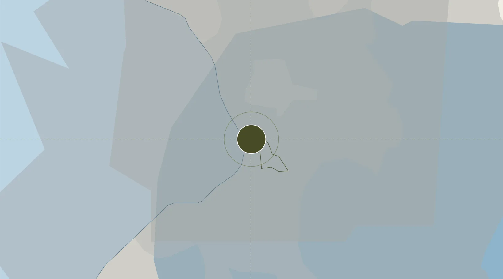
14.5509°, 120.9938°
3 ha
Zone area
4.6 km
Nearest port
5.5 km
Nearest airport

Gateway access

Nearest neighbours — logibook spatial index (haversine) over the source coordinates

Zone profile

Zone type
Specialized Zone
Open Zone Map
Specialization
IT
Open Zone Map
Region
Pasay
Open Zone Map
Status
Active
Open Zone Map
Management
Private
Open Zone Map
Operator
Federal Land, Inc.
Open Zone Map
Legal framework
Special Economic Zone Act (Republic Act No. 7916) (as amended by Republic Act No. 8748)
Open Zone Map

Location

Location of ozm-3743
Natural Earth 10m (public domain) · Pasay · ozm-3743 · 14.55, 120.99GoogleOSMYandex

Nearby Logistics Neighbours

Ports
  1. 1Manila5 km
  2. 2Mariveles57 km
  3. 3Nasugbu66 km
  4. 4Subic Bay83 km
  5. 5Batangas City89 km
Nearest neighbours — logibook spatial index (haversine) over the source coordinates
Airports
  1. 1Ninoy Aquino International Airport6 km
  2. 2Danilo Atienza Air Base12 km
  3. 3Subic Bay International Airport / Naval Air Station Cubi Point82 km
  4. 4Clark International Airport / Clark Air Base85 km
  5. 5Lubang Airport123 km
Nearest neighbours — logibook spatial index (haversine) over the source coordinates
Cities
  1. 1Makati City2 km
  2. 2Bangkal2 km
  3. 3Philippines4 km
  4. 4Manila4 km
  5. 5Parañaque4 km
Nearest neighbours — logibook spatial index (haversine) over the source coordinates
Trade Zones
  1. 1One Coral Way1 km
  2. 2South Coast Ecozone1 km
  3. 3Döhle Haus Manila1 km
  4. 4Metropolitan Technological Complex1 km
  5. 5Atkimson Building1 km
Nearest neighbours — logibook spatial index (haversine) over the source coordinates
DatabookThe Record of Consolidated Knowledge
Philippines beyond logistics?
Browse databook

All Sources

Trade ZonesOpen Zone Map
CC BY
Portsthe NGA World Port Index
Public domain (US gov)
AirportsOurAirports
Public domain
LocationsUN/LOCODE
UN/LOCODE — free
← Philippines trade zones