Diversified Zone · Philippines

South Coast Ecozone Active
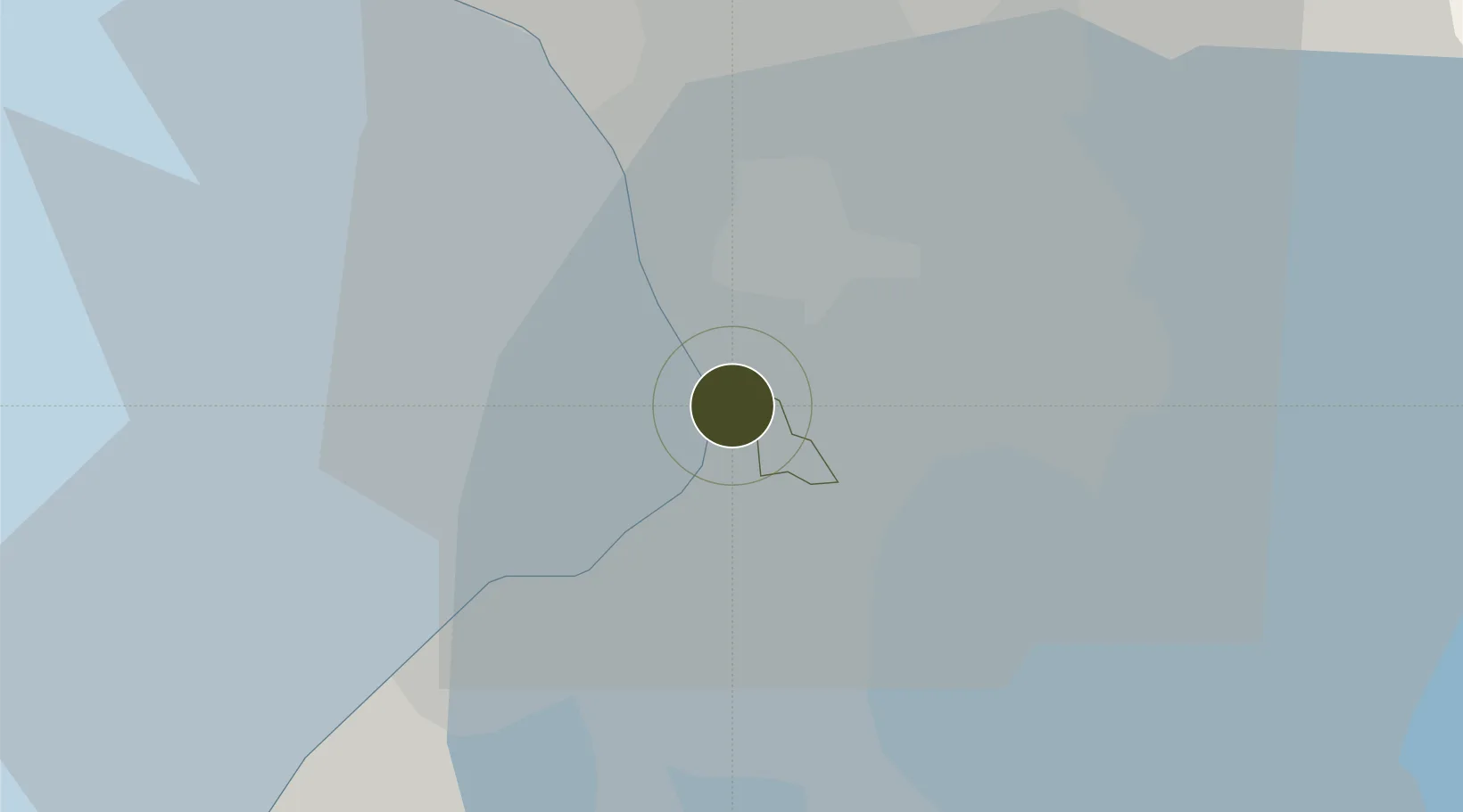
14.5436°, 120.9944°
195 ha
Zone area
5.3 km
Nearest port
4.8 km
Nearest airport

Gateway access

Nearest neighbours — logibook spatial index (haversine) over the source coordinates

Zone profile

Zone type
Diversified Zone
Open Zone Map
Region
Pasay
Open Zone Map
Status
Active
Open Zone Map
Management
Public
Open Zone Map
Operator
Manila South Coast Development Corp.
Open Zone Map
Legal framework
Special Economic Zone Act (Republic Act No. 7916) (as amended by Republic Act No. 8748)
Open Zone Map

Location

Location of ozm-3206
Natural Earth 10m (public domain) · Pasay · ozm-3206 · 14.54, 120.99GoogleOSMYandex

Nearby Logistics Neighbours

Ports
  1. 1Manila5 km
  2. 2Mariveles56 km
  3. 3Nasugbu65 km
  4. 4Subic Bay83 km
  5. 5Batangas City88 km
Nearest neighbours — logibook spatial index (haversine) over the source coordinates
Airports
  1. 1Ninoy Aquino International Airport5 km
  2. 2Danilo Atienza Air Base11 km
  3. 3Subic Bay International Airport / Naval Air Station Cubi Point83 km
  4. 4Clark International Airport / Clark Air Base85 km
  5. 5Lubang Airport123 km
Nearest neighbours — logibook spatial index (haversine) over the source coordinates
Cities
  1. 1Bangkal1 km
  2. 2Makati City2 km
  3. 3Parañaque3 km
  4. 4Manila4 km
  5. 5Philippines5 km
Nearest neighbours — logibook spatial index (haversine) over the source coordinates
Trade Zones
  1. 1One Coral Way0 km
  2. 2Metropolitan Technological Complex0 km
  3. 3Metro IT Park1 km
  4. 4DoubleDragon Center East1 km
  5. 5Double Dragon Plaza1 km
Nearest neighbours — logibook spatial index (haversine) over the source coordinates
DatabookThe Record of Consolidated Knowledge
Philippines beyond logistics?
Browse databook

All Sources

Trade ZonesOpen Zone Map
CC BY
Portsthe NGA World Port Index
Public domain (US gov)
AirportsOurAirports
Public domain
LocationsUN/LOCODE
UN/LOCODE — free
← Philippines trade zones