UN/LOCODE hub · Philippines
PHMKC
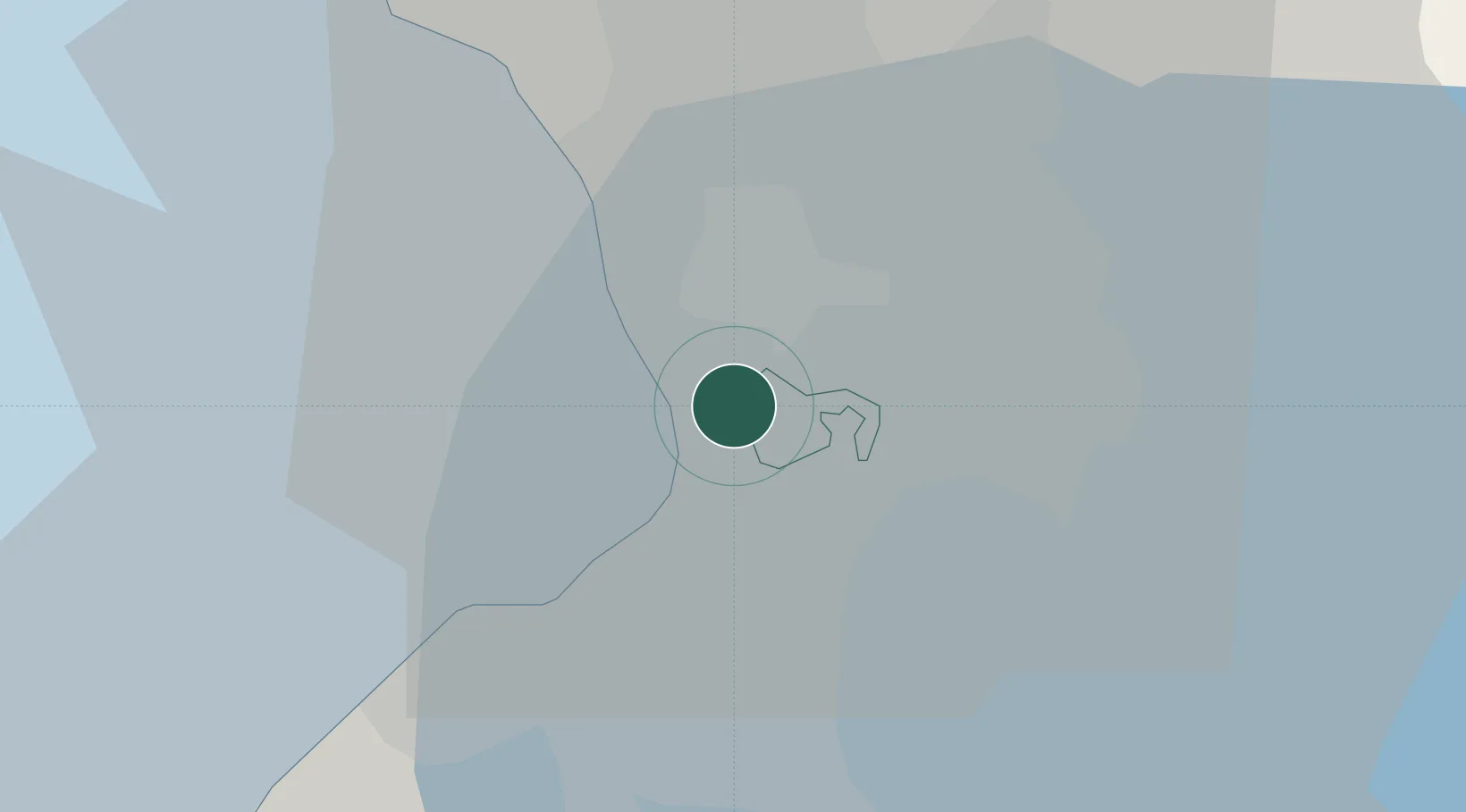
Makati City
14.5570°, 121.0105°
510,383
Population
1
Transport functions
Transport Functions
Port
Hub Profile
Place type
Provincial seat
Region
National Capital Region
Population
510,383
Time zone
Asia/Manila
Elevation
25 m
Logistics facilities
1
Location
Nearby Logistics Neighbours
Cities
- 1Bangkal3 km
- 2Philippines3 km
- 3Manila5 km
- 4Parañaque5 km
- 5Libis8 km
Ports
- 1Manila6 km
- 2Mariveles58 km
- 3Nasugbu68 km
- 4Subic Bay84 km
- 5Batangas City90 km
Airports
Trade Zones
DatabookThe Record of Consolidated Knowledge
Philippines beyond logistics?