UN/LOCODE hub · Philippines
PHMNL
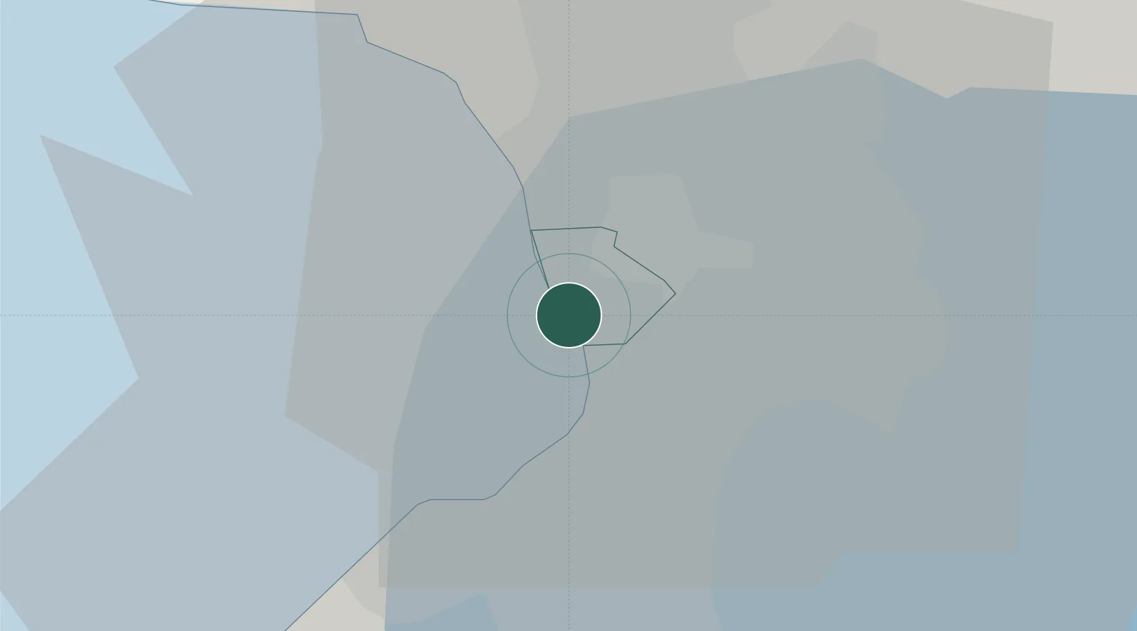
Manila
14.5756°, 120.9713°
1,600,000
Population
3
Transport functions
3
Container terminals
Transport Functions
Port
Airport
Postal
Hub Profile
Place type
National capital
Region
National Capital Region
Population
1,600,000
Time zone
Asia/Manila
Elevation
13 m
Logistics facilities
26
Container terminals
3
Location
Nearby Logistics Neighbours
Cities
- 1Philippines3 km
- 2Manila North Harbour4 km
- 3Makati City5 km
- 4Bangkal6 km
- 5Parañaque7 km
Ports
- 1Mariveles55 km
- 2Nasugbu67 km
- 3Subic Bay80 km
- 4Batangas City92 km
- 5Calapan131 km
Airports
Trade Zones
DatabookThe Record of Consolidated Knowledge
Philippines beyond logistics?