Transport Functions
Multimodal
Hub Profile
Place type
Populated place
Region
National Capital Region
Time zone
Asia/Manila
Elevation
8 m
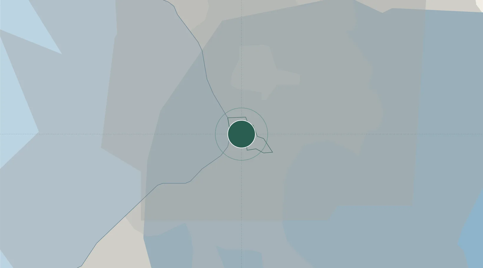
Location
Nearby Logistics Neighbours
Cities
- 1Parañaque3 km
- 2Makati City3 km
- 3Philippines6 km
- 4Manila6 km
- 5Manila North Harbour9 km
Ports
- 1Manila7 km
- 2Mariveles57 km
- 3Nasugbu65 km
- 4Subic Bay84 km
- 5Batangas City87 km
Airports
Trade Zones
- 1DoubleDragon Center East1 km
- 2Aseana Two1 km
- 3Eton Bay Square1 km
- 4Aseana One1 km
- 5Filinvest Cyberzone Pasay1 km
DatabookThe Record of Consolidated Knowledge
Philippines beyond logistics?