Transport Functions
Port
Hub Profile
Place type
Populated place
Region
Autonomous Region in Muslim Mindanao
Time zone
Asia/Manila
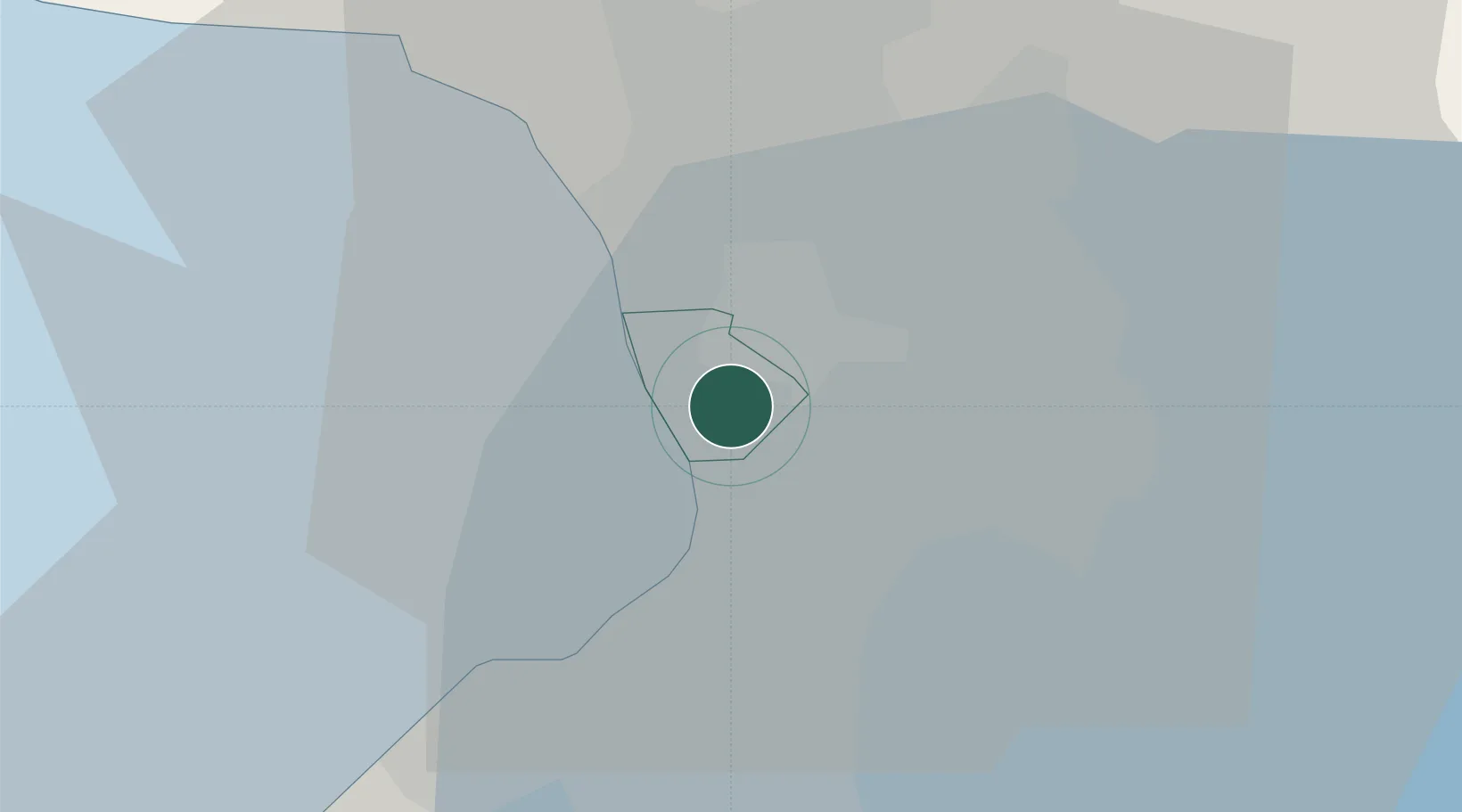
Location
Nearby Logistics Neighbours
Cities
- 1Makati City3 km
- 2Manila3 km
- 3Bangkal6 km
- 4Muntinlupa City7 km
- 5Manila North Harbour7 km
Ports
- 1Manila4 km
- 2Mariveles58 km
- 3Nasugbu69 km
- 4Subic Bay83 km
- 5Batangas City93 km
Airports
Trade Zones
DatabookThe Record of Consolidated Knowledge
Philippines beyond logistics?