Specialized Zone · Philippines

Atkimson Building Under Development
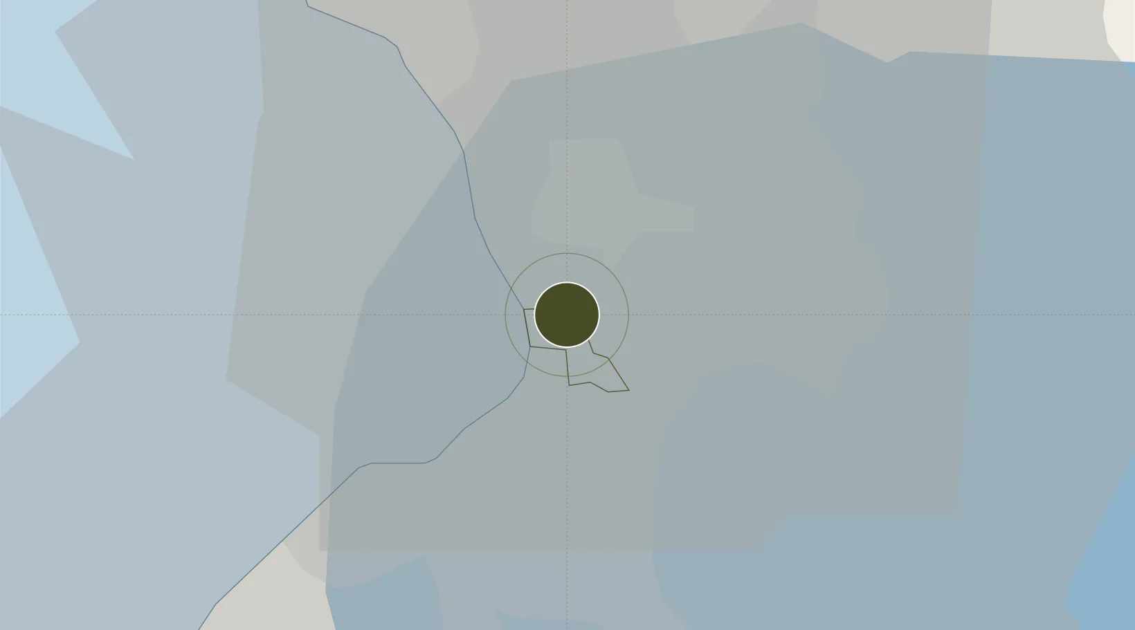
14.5536°, 121.0066°
1 ha
Zone area
5.4 km
Nearest port
5.2 km
Nearest airport

Gateway access

Nearest neighbours — logibook spatial index (haversine) over the source coordinates

Zone profile

Zone type
Specialized Zone
Open Zone Map
Specialization
IT
Open Zone Map
Region
Pasay
Open Zone Map
Status
Under Development
Open Zone Map
Management
Private
Open Zone Map
Operator
L.G. Atkimson Import-Export, Inc.
Open Zone Map
Legal framework
Special Economic Zone Act (Republic Act No. 7916) (as amended by Republic Act No. 8748)
Open Zone Map

Location

Location of ozm-3624
Natural Earth 10m (public domain) · Pasay · ozm-3624 · 14.55, 121.01GoogleOSMYandex

Nearby Logistics Neighbours

Ports
  1. 1Manila5 km
  2. 2Mariveles58 km
  3. 3Nasugbu67 km
  4. 4Subic Bay84 km
  5. 5Batangas City90 km
Nearest neighbours — logibook spatial index (haversine) over the source coordinates
Airports
  1. 1Ninoy Aquino International Airport5 km
  2. 2Danilo Atienza Air Base13 km
  3. 3Subic Bay International Airport / Naval Air Station Cubi Point84 km
  4. 4Clark International Airport / Clark Air Base85 km
  5. 5Lubang Airport124 km
Nearest neighbours — logibook spatial index (haversine) over the source coordinates
Cities
  1. 1Makati City1 km
  2. 2Bangkal2 km
  3. 3Philippines3 km
  4. 4Manila5 km
  5. 5Parañaque5 km
Nearest neighbours — logibook spatial index (haversine) over the source coordinates
Trade Zones
  1. 1Cash and Carry Mall1 km
  2. 2Döhle Haus Manila1 km
  3. 3Maria Cornelia IT Center1 km
  4. 4TechZone Building1 km
  5. 5Marvin Plaza Building1 km
Nearest neighbours — logibook spatial index (haversine) over the source coordinates
DatabookThe Record of Consolidated Knowledge
Philippines beyond logistics?
Browse databook

All Sources

Trade ZonesOpen Zone Map
CC BY
Portsthe NGA World Port Index
Public domain (US gov)
AirportsOurAirports
Public domain
LocationsUN/LOCODE
UN/LOCODE — free
← Philippines trade zones