Specialized Zone · Philippines

NFEx North Food Exchange Under Development
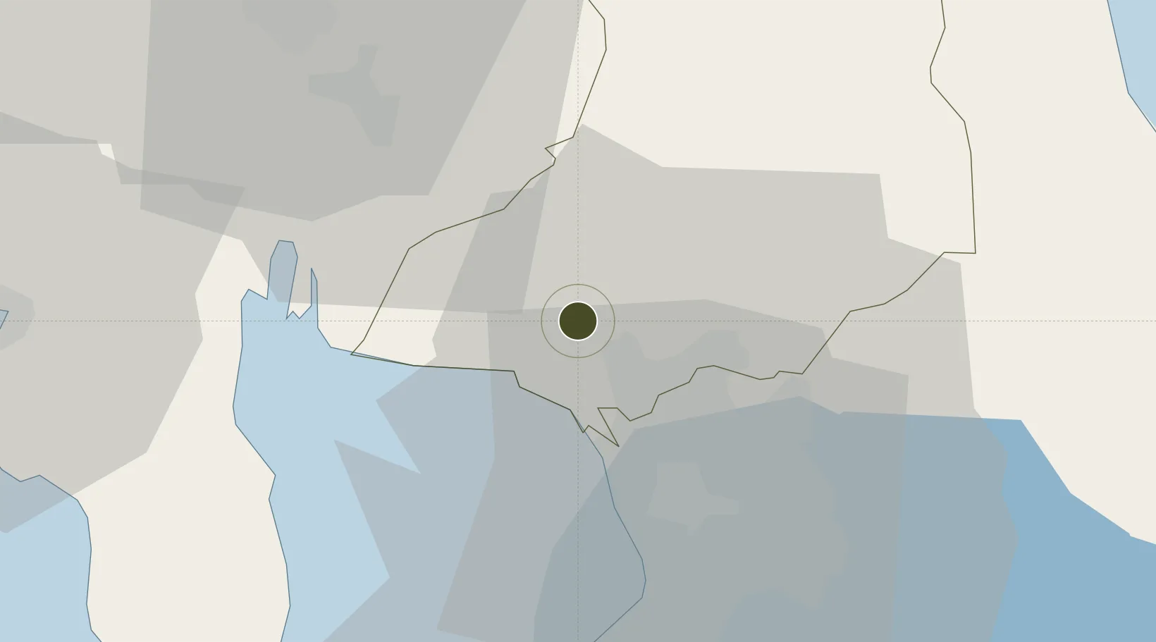
14.8155°, 120.9105°
32 ha
Zone area
26.5 km
Nearest port
35.6 km
Nearest airport

Gateway access

Nearest neighbours — logibook spatial index (haversine) over the source coordinates

Zone profile

Zone type
Specialized Zone
Open Zone Map
Specialization
Agriculture
Open Zone Map
Region
Bulacan
Open Zone Map
Status
Under Development
Open Zone Map
Management
Private
Open Zone Map
Operator
Southeast Asian Commodities and Food Exchange, Inc.
Open Zone Map
Legal framework
Special Economic Zone Act (Republic Act No. 7916) (as amended by Republic Act No. 8748)
Open Zone Map

Location

Location of ozm-3354
Natural Earth 10m (public domain) · Bulacan · ozm-3354 · 14.82, 120.91GoogleOSMYandex

Nearby Logistics Neighbours

Ports
  1. 1Manila27 km
  2. 2Mariveles63 km
  3. 3Subic Bay69 km
  4. 4Nasugbu87 km
  5. 5Batangas City119 km
Nearest neighbours — logibook spatial index (haversine) over the source coordinates
Cities
  1. 1Bulacan7 km
  2. 2Valenzuela14 km
  3. 3Plaridel/Ozamis16 km
  4. 4Navotas20 km
  5. 5Caloocan City20 km
Nearest neighbours — logibook spatial index (haversine) over the source coordinates
Trade Zones
  1. 1Outliers Techno Hub3 km
  2. 2First Bulacan Industrial City Ecozone8 km
  3. 3Supima eCircle10 km
  4. 4Sta. Maria Industrial Park12 km
  5. 5Malolos Terminal and Commercial Hub, Inc12 km
Nearest neighbours — logibook spatial index (haversine) over the source coordinates
DatabookThe Record of Consolidated Knowledge
Philippines beyond logistics?
Browse databook

All Sources

Trade ZonesOpen Zone Map
CC BY
Portsthe NGA World Port Index
Public domain (US gov)
AirportsOurAirports
Public domain
LocationsUN/LOCODE
UN/LOCODE — free
← Philippines trade zones