Transport Functions
Multimodal
Hub Profile
Logistics facilities
1
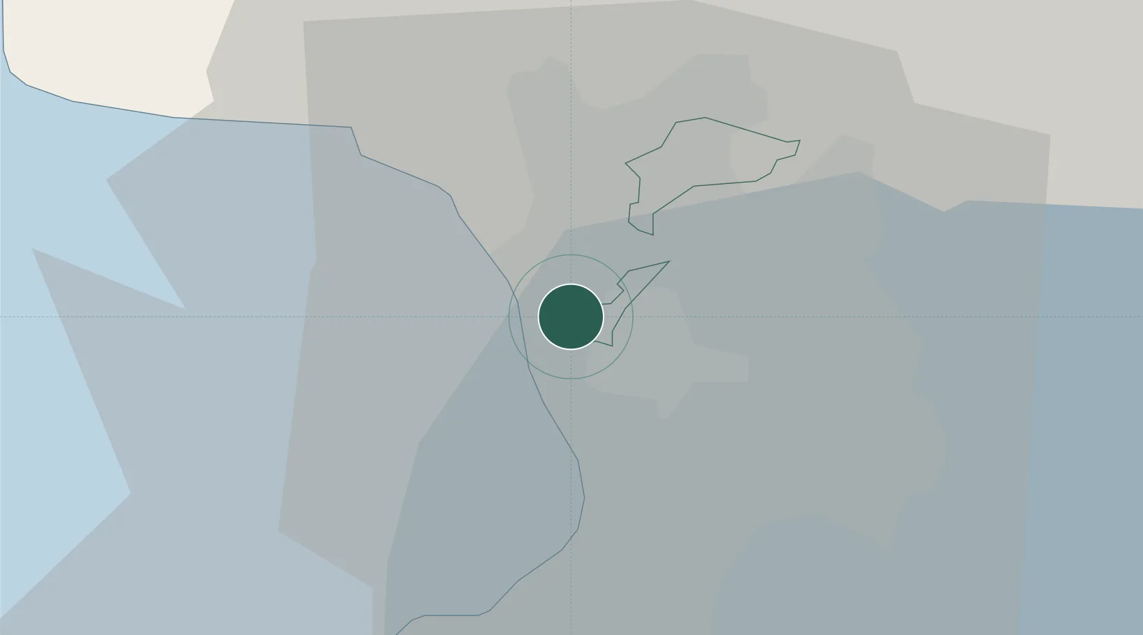
Location
Nearby Logistics Neighbours
Cities
- 1Navotas2 km
- 2Valenzuela6 km
- 3San Juan6 km
- 4Quezon City6 km
- 5Philippines7 km
Ports
- 1Manila7 km
- 2Mariveles58 km
- 3Nasugbu74 km
- 4Subic Bay78 km
- 5Batangas City100 km
Airports
Trade Zones
DatabookThe Record of Consolidated Knowledge
Philippines beyond logistics?