Specialized Zone · Philippines

Malolos Terminal and Commercial Hub, Inc Under Development
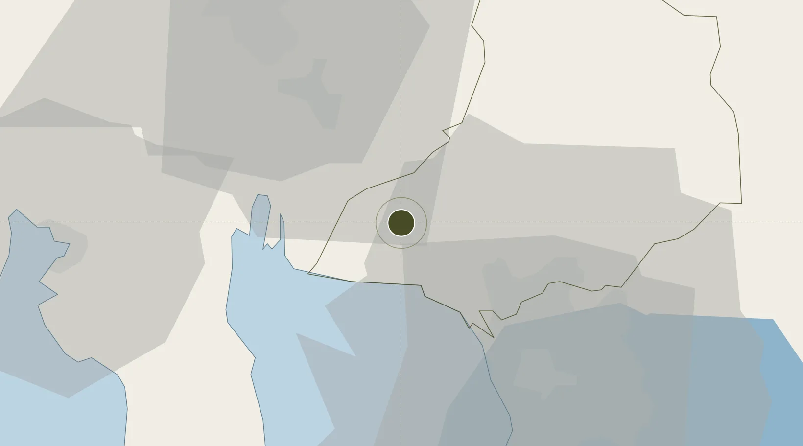
14.8586°, 120.8102°
1 ha
Zone area
34.9 km
Nearest port
41.6 km
Nearest airport

Gateway access

Nearest neighbours — logibook spatial index (haversine) over the source coordinates

Zone profile

Zone type
Specialized Zone
Open Zone Map
Specialization
IT
Open Zone Map
Region
Bulacan
Open Zone Map
Status
Under Development
Open Zone Map
Management
Private
Open Zone Map
Operator
Malolos Terminal and Commercial Hub, Inc.
Open Zone Map
Legal framework
Special Economic Zone Act (Republic Act No. 7916) (as amended by Republic Act No. 8748)
Open Zone Map

Location

Location of ozm-3690
Natural Earth 10m (public domain) · Bulacan · ozm-3690 · 14.86, 120.81GoogleOSMYandex

Nearby Logistics Neighbours

Ports
  1. 1Manila35 km
  2. 2Subic Bay59 km
  3. 3Mariveles59 km
  4. 4Nasugbu89 km
  5. 5Masinloc120 km
Nearest neighbours — logibook spatial index (haversine) over the source coordinates
Cities
  1. 1Bulacan5 km
  2. 2Plaridel/Ozamis19 km
  3. 3Valenzuela24 km
  4. 4Navotas29 km
  5. 5Caloocan City30 km
Nearest neighbours — logibook spatial index (haversine) over the source coordinates
Trade Zones
  1. 1Bulacan Technohub and Innovation Center1 km
  2. 2DRRC Information Technology Park2 km
  3. 3VistaHub BPO Malolos2 km
  4. 4First Bulacan Industrial City Ecozone5 km
  5. 5NFEx North Food Exchange12 km
Nearest neighbours — logibook spatial index (haversine) over the source coordinates
DatabookThe Record of Consolidated Knowledge
Philippines beyond logistics?
Browse databook

All Sources

Trade ZonesOpen Zone Map
CC BY
Portsthe NGA World Port Index
Public domain (US gov)
AirportsOurAirports
Public domain
LocationsUN/LOCODE
UN/LOCODE — free
← Philippines trade zones