Transport Functions
Multimodal
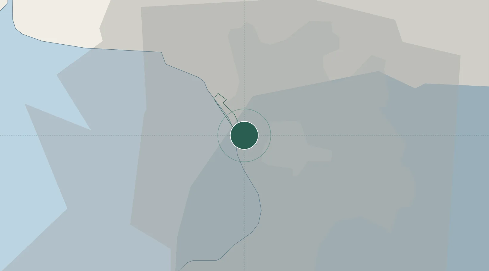
Hub Profile
Place type
District seat
Region
National Capital Region
Population
249,463
Time zone
Asia/Manila
Elevation
5 m
Logistics facilities
2
Location
Nearby Logistics Neighbours
Cities
- 1Caloocan City2 km
- 2Valenzuela7 km
- 3Manila North Harbour7 km
- 4Manila7 km
- 5Philippines8 km
Ports
- 1Manila7 km
- 2Mariveles56 km
- 3Nasugbu72 km
- 4Subic Bay77 km
- 5Batangas City100 km
Airports
Trade Zones
DatabookThe Record of Consolidated Knowledge
Philippines beyond logistics?