Diversified Zone · Philippines

First Bulacan Industrial City Ecozone Under Development
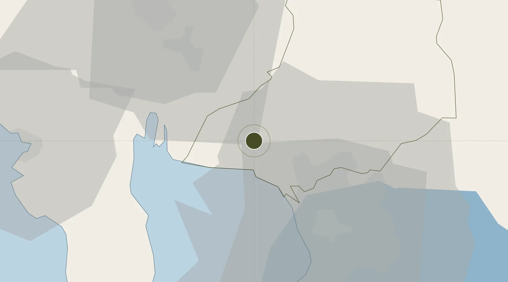
14.8329°, 120.8425°
25 ha
Zone area
30.8 km
Nearest port
38.1 km
Nearest airport

Gateway access

Nearest neighbours — logibook spatial index (haversine) over the source coordinates

Zone profile

Zone type
Diversified Zone
Open Zone Map
Region
Bulacan
Open Zone Map
Status
Under Development
Open Zone Map
Management
Private
Open Zone Map
Operator
Philstar Marketing Development, Inc.
Open Zone Map
Legal framework
Special Economic Zone Act (Republic Act No. 7916) (as amended by Republic Act No. 8748)
Open Zone Map

Location

Location of ozm-3116
Natural Earth 10m (public domain) · Bulacan · ozm-3116 · 14.83, 120.84GoogleOSMYandex

Nearby Logistics Neighbours

Ports
  1. 1Manila31 km
  2. 2Mariveles59 km
  3. 3Subic Bay62 km
  4. 4Nasugbu87 km
  5. 5Batangas City123 km
Nearest neighbours — logibook spatial index (haversine) over the source coordinates
Cities
  1. 1Bulacan1 km
  2. 2Plaridel/Ozamis18 km
  3. 3Valenzuela20 km
  4. 4Navotas25 km
  5. 5Caloocan City25 km
Nearest neighbours — logibook spatial index (haversine) over the source coordinates
Trade Zones
  1. 1Malolos Terminal and Commercial Hub, Inc5 km
  2. 2Bulacan Technohub and Innovation Center5 km
  3. 3DRRC Information Technology Park7 km
  4. 4VistaHub BPO Malolos7 km
  5. 5NFEx North Food Exchange8 km
Nearest neighbours — logibook spatial index (haversine) over the source coordinates
DatabookThe Record of Consolidated Knowledge
Philippines beyond logistics?
Browse databook

All Sources

Trade ZonesOpen Zone Map
CC BY
Portsthe NGA World Port Index
Public domain (US gov)
AirportsOurAirports
Public domain
LocationsUN/LOCODE
UN/LOCODE — free
← Philippines trade zones