Diversified Zone · China

Linxi Industrial Park Active
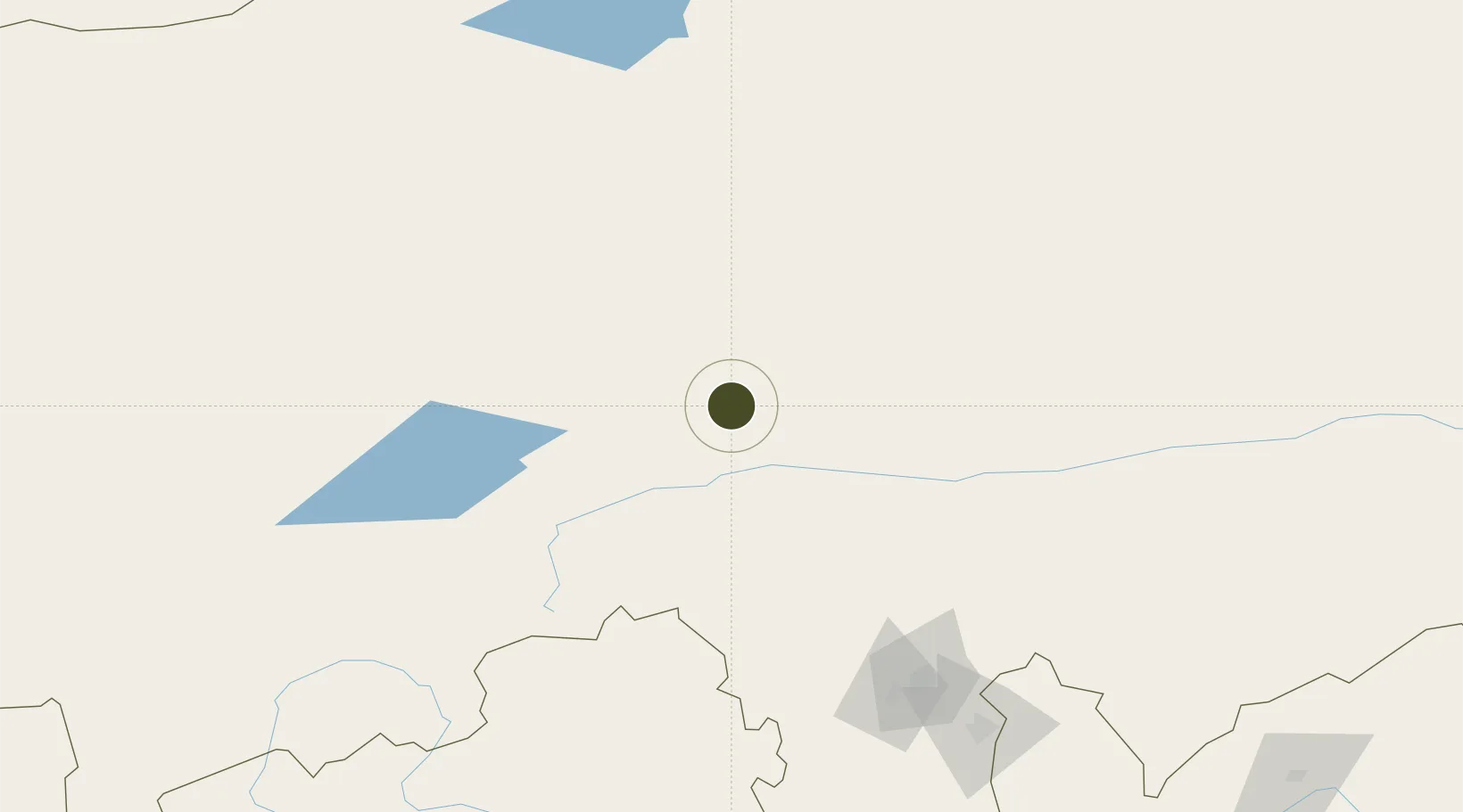
43.5779°, 118.0579°
77 ha
Zone area
400.7 km
Nearest port
170.1 km
Nearest airport

Gateway access

Nearest neighbours — logibook spatial index (haversine) over the source coordinates

Zone profile

Zone type
Diversified Zone
Open Zone Map
Region
Inner Mongol
Open Zone Map
Status
Active
Open Zone Map
Management
Public
Open Zone Map
Operator
Management Commitiee
Open Zone Map
Legal framework
It was founded in 2001
Open Zone Map

Location

Location of ozm-320
Natural Earth 10m (public domain) · Inner Mongol · ozm-320 · 43.58, 118.06GoogleOSMYandex

Nearby Logistics Neighbours

Ports
  1. 1Huludao Gang401 km
  2. 2Jinzhou Wan402 km
  3. 3Qinhuangdao425 km
  4. 4Yingkou471 km
  5. 5Tangshan (Jingtang)493 km
Nearest neighbours — logibook spatial index (haversine) over the source coordinates
Airports
  1. 1Chifeng Yulong Airport170 km
  2. 2Holingol Huolinhe Airport238 km
  3. 3Chengde Puning Airport273 km
  4. 4Fengning Air Base284 km
  5. 5Chaoyang Airport299 km
Nearest neighbours — logibook spatial index (haversine) over the source coordinates
Cities
  1. 1Xilin Hot168 km
  2. 2Ulan Qab289 km
  3. 3Chengde291 km
  4. 4Tongliao Apt338 km
  5. 5Miyun371 km
Nearest neighbours — logibook spatial index (haversine) over the source coordinates
Trade Zones
  1. 1Keshiketeng Circular Economy Industrial Park53 km
  2. 2Chifeng Songshan Economic Development Zone161 km
  3. 3Chifeng High-tech Industrial Development Zone162 km
  4. 4Chifeng Yulong Industrial Park164 km
  5. 5Harqin Economic Development Zone164 km
Nearest neighbours — logibook spatial index (haversine) over the source coordinates
DatabookThe Record of Consolidated Knowledge
China beyond logistics?
Browse databook

All Sources

Trade ZonesOpen Zone Map
CC BY
Portsthe NGA World Port Index
Public domain (US gov)
AirportsOurAirports
Public domain
LocationsUN/LOCODE
UN/LOCODE — free
← China trade zones