Transport Functions
Port
Hub Profile
Place type
Populated place
Region
Inner Mongolia
Population
120,965
Time zone
Asia/Shanghai
Elevation
982 m
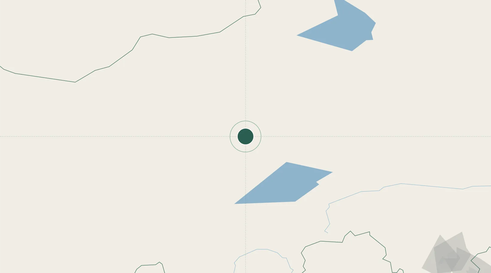
Location
Nearby Logistics Neighbours
Cities
- 1Ulan Qab173 km
- 2Longguan358 km
- 3Zhangjiakou363 km
- 4Chengde368 km
- 5Huailai403 km
Ports
- 1Qinhuangdao537 km
- 2Huludao Gang545 km
- 3Jinzhou Wan549 km
- 4Tianjin Xin Gang576 km
- 5Tangshan (Jingtang)585 km
Airports
- 1Xilinhot Airport8 km
- 2Chifeng Yulong Airport304 km
- 3Fengning Air Base305 km
- 4Holingol Huolinhe Airport316 km
- 5Erenhot Saiwusu International Airport323 km
Trade Zones
DatabookThe Record of Consolidated Knowledge
China beyond logistics?