Transport Functions
Road
Multimodal
Hub Profile
Place type
Provincial seat
Region
Inner Mongolia
Population
550,231
Time zone
Asia/Shanghai
Elevation
1,375 m
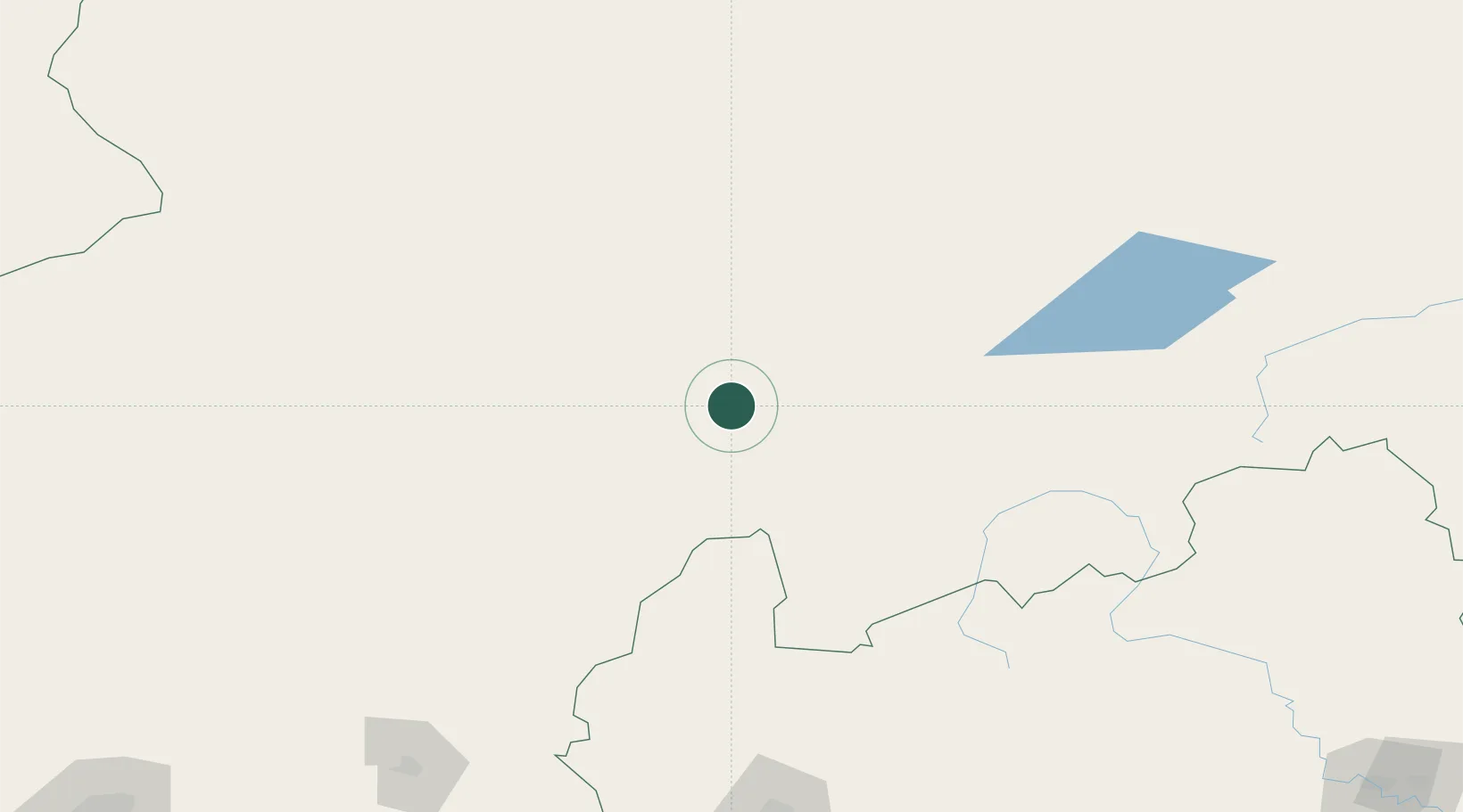
Location
Nearby Logistics Neighbours
Cities
- 1Xilin Hot173 km
- 2Zhangjiakou218 km
- 3Longguan235 km
- 4Erlianhaote239 km
- 5Zamyn-Üüd252 km
Ports
- 1Tianjin Xin Gang499 km
- 2Qinhuangdao519 km
- 3Tangshan (Jingtang)539 km
- 4Huludao Gang572 km
- 5Jinzhou Wan579 km
Airports
- 1Xilinhot Airport165 km
- 2Erenhot Saiwusu International Airport222 km
- 3Ulanqab Jining Airport223 km
- 4Zhangjiakou Ningyuan Airport227 km
- 5Fengning Air Base232 km
Trade Zones
DatabookThe Record of Consolidated Knowledge
China beyond logistics?