Charter City · Philippines

Nueva Segovia Special Jurisdiction (Archdiocese) Active
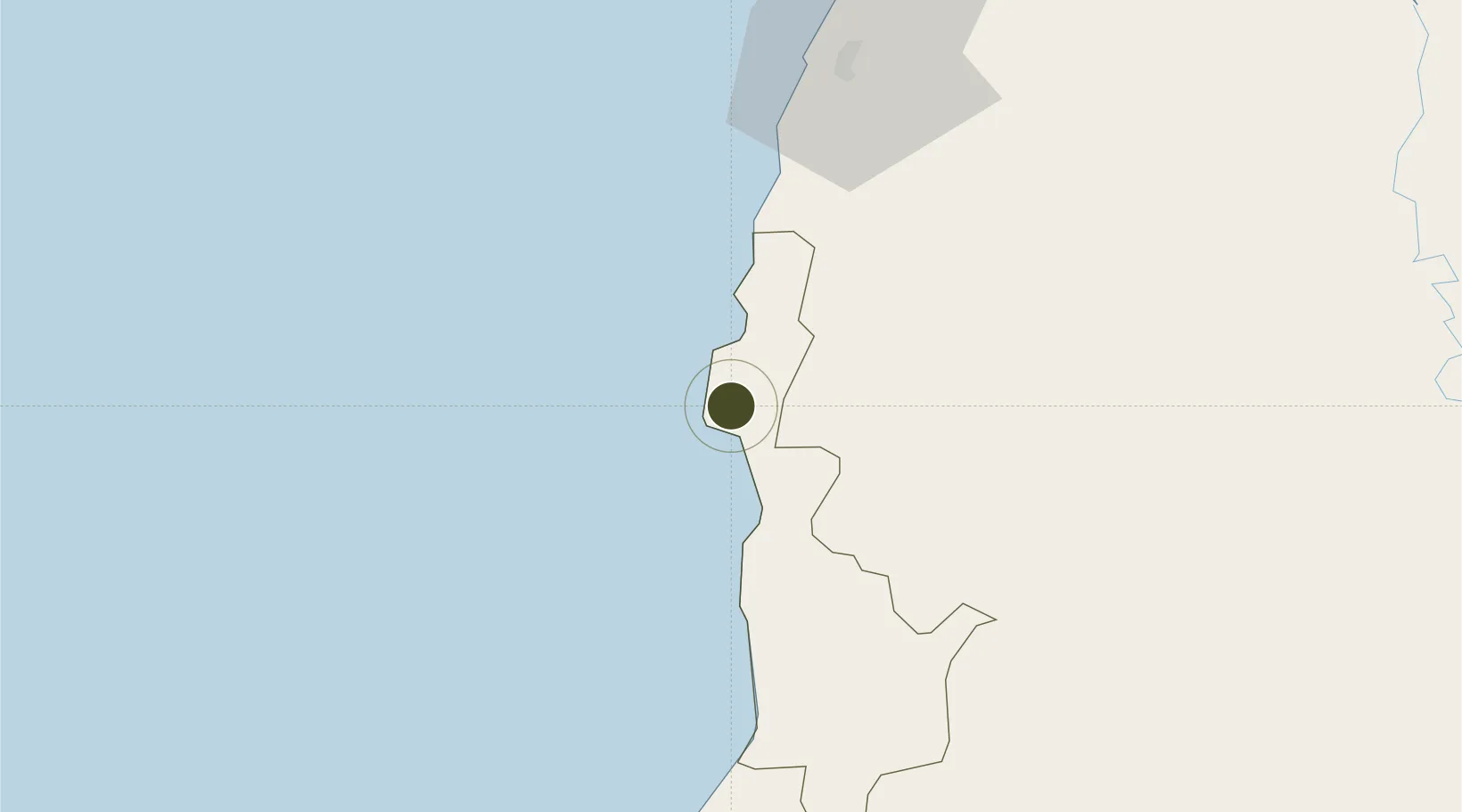
17.5756°, 120.3863°
257,000 ha
Zone area
106.9 km
Nearest port
68.4 km
Nearest airport

Gateway access

Nearest neighbours — logibook spatial index (haversine) over the source coordinates

Zone profile

Zone type
Charter City
Open Zone Map
Region
Ilocos Sur
Open Zone Map
Status
Active
Open Zone Map
Management
Private
Open Zone Map
Operator
The Roman Catholic Bishop Of Nueva Segovia
Open Zone Map
Legal framework
Special Economic Zone Act (Republic Act No. 7916) (as amended by Republic Act No. 8748)
Open Zone Map

Location

Location of ozm-3094
Natural Earth 10m (public domain) · Ilocos Sur · ozm-3094 · 17.58, 120.39GoogleOSMYandex

Nearby Logistics Neighbours

Ports
  1. 1San Fernando Harbor107 km
  2. 2Claveria137 km
  3. 3Aparri159 km
  4. 4Masinloc230 km
  5. 5Subic Bay309 km
Nearest neighbours — logibook spatial index (haversine) over the source coordinates
Airports
  1. 1Laoag International Airport68 km
  2. 2San Fernando Airport109 km
  3. 3Loakan Airport136 km
  4. 4Tuguegarao Airport143 km
  5. 5Cagayan North International Airport159 km
Nearest neighbours — logibook spatial index (haversine) over the source coordinates
Cities
  1. 1Salomague23 km
  2. 2Laoag, Luzon71 km
  3. 3Pagudpud, Luzon107 km
  4. 4Bauang118 km
  5. 5Pasaleng, Luzon122 km
Nearest neighbours — logibook spatial index (haversine) over the source coordinates
Trade Zones
  1. 1Robinsons Place Ilocos Norte Expansion54 km
  2. 2Mariano Marcos State University IT Center56 km
  3. 3Suyo Economic Zone66 km
  4. 4Fort Ilocandia Tourism Ecozone66 km
  5. 5Venvi IT Hub71 km
Nearest neighbours — logibook spatial index (haversine) over the source coordinates
DatabookThe Record of Consolidated Knowledge
Philippines beyond logistics?
Browse databook

All Sources

Trade ZonesOpen Zone Map
CC BY
Portsthe NGA World Port Index
Public domain (US gov)
AirportsOurAirports
Public domain
LocationsUN/LOCODE
UN/LOCODE — free
← Philippines trade zones