Specialized Zone · Nigeria

Airline Services Export Processing Zone Active
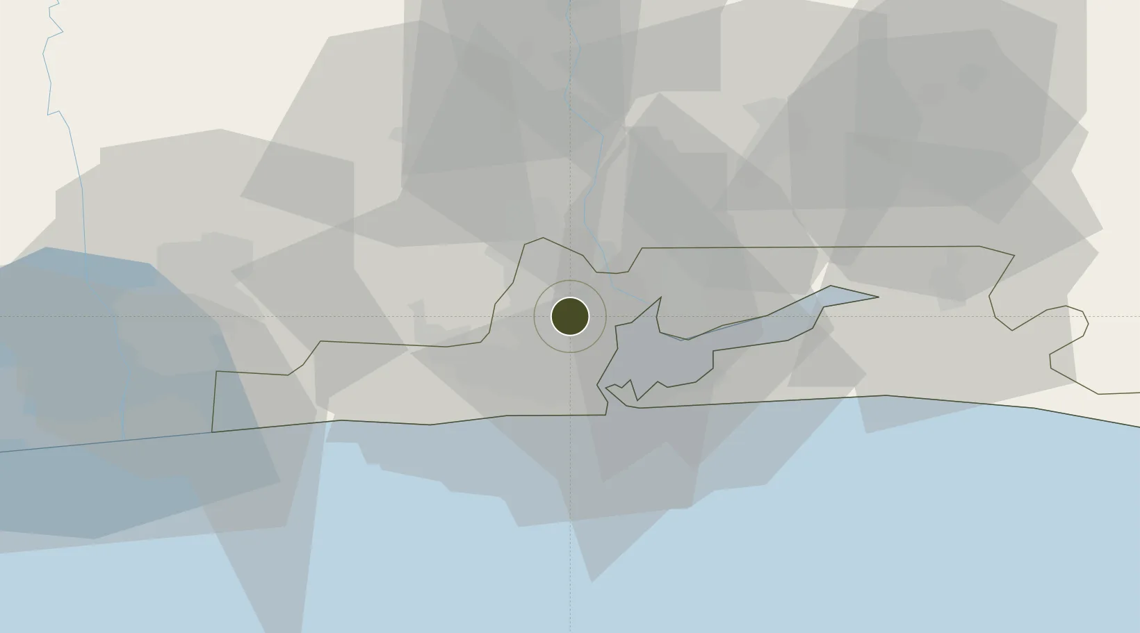
6.5686°, 3.3237°
300 ha
Zone area
20.6 km
Nearest port
1.0 km
Nearest airport

Gateway access

Nearest neighbours — logibook spatial index (haversine) over the source coordinates

Zone profile

Zone type
Specialized Zone
Open Zone Map
Specialization
Aerospace
Open Zone Map
Region
Lagos
Open Zone Map
Status
Active
Open Zone Map
Management
Public-Private Partnership
Open Zone Map
Operator
Newrest Airline Services & Logitsics Nigeria Ltd.
Open Zone Map
Legal framework
Section 10 (4) of the Nigeria Export Processing Zones Act No 63 of 1992
Open Zone Map

Location

Location of ozm-2978
Natural Earth 10m (public domain) · Lagos · ozm-2978 · 6.57, 3.32GoogleOSMYandex

Nearby Logistics Neighbours

Ports
  1. 1Lagos21 km
  2. 2Tin Can Island25 km
  3. 3Cotonou101 km
  4. 4Ukpokiti Marine Terminal191 km
  5. 5Kpeme204 km
Nearest neighbours — logibook spatial index (haversine) over the source coordinates
Airports
  1. 1Murtala Muhammed International Airport1 km
  2. 2Cotonou Cadjehoun International Airport106 km
  3. 3Ibadan Airport114 km
  4. 4Akure Airport231 km
  5. 5Lomé–Tokoin International Airport233 km
Nearest neighbours — logibook spatial index (haversine) over the source coordinates
Cities
  1. 1Oshodi2 km
  2. 2Shomolu6 km
  3. 3Mushin7 km
  4. 4Ifako7 km
  5. 5Orile8 km
Nearest neighbours — logibook spatial index (haversine) over the source coordinates
Trade Zones
  1. 1NAHCO Free Trade Zone1 km
  2. 2Quits Aviation Services Zone3 km
  3. 3Tomaro Industrial Park15 km
  4. 4Nigerdock Free Zone16 km
  5. 5Snake Island Integrated Free Zone16 km
Nearest neighbours — logibook spatial index (haversine) over the source coordinates
DatabookThe Record of Consolidated Knowledge
Nigeria beyond logistics?
Browse databook

All Sources

Trade ZonesOpen Zone Map
CC BY
Portsthe NGA World Port Index
Public domain (US gov)
AirportsOurAirports
Public domain
LocationsUN/LOCODE
UN/LOCODE — free
← Nigeria trade zones