Free Trade Zone · Nigeria

NAHCO Free Trade Zone Active
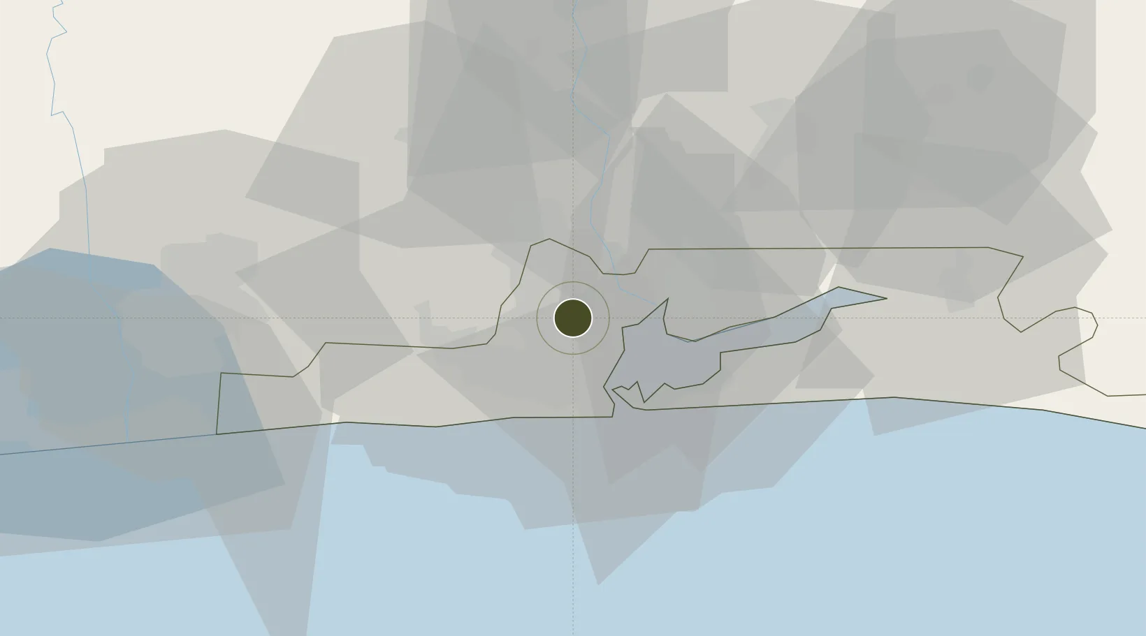
6.5684°, 3.3176°
75,500 ha
Zone area
20.8 km
Nearest port
1.1 km
Nearest airport

Gateway access

Nearest neighbours — logibook spatial index (haversine) over the source coordinates

Zone profile

Zone type
Free Trade Zone
Open Zone Map
Region
Lagos
Open Zone Map
Status
Active
Open Zone Map
Management
Private
Open Zone Map
Operator
Nigerian Aviation Handling Company Plc
Open Zone Map
Legal framework
Murtala Muhammed International Airport Cargo Terminal Free Zone Regulations, 2015
Open Zone Map

Location

Location of ozm-2977
Natural Earth 10m (public domain) · Lagos · ozm-2977 · 6.57, 3.32GoogleOSMYandex

Nearby Logistics Neighbours

Ports
  1. 1Lagos21 km
  2. 2Tin Can Island25 km
  3. 3Cotonou101 km
  4. 4Ukpokiti Marine Terminal192 km
  5. 5Kpeme203 km
Nearest neighbours — logibook spatial index (haversine) over the source coordinates
Airports
  1. 1Murtala Muhammed International Airport1 km
  2. 2Cotonou Cadjehoun International Airport106 km
  3. 3Ibadan Airport115 km
  4. 4Akure Airport232 km
  5. 5Lomé–Tokoin International Airport232 km
Nearest neighbours — logibook spatial index (haversine) over the source coordinates
Cities
  1. 1Oshodi3 km
  2. 2Shomolu7 km
  3. 3Mushin7 km
  4. 4Ifako7 km
  5. 5Orile8 km
Nearest neighbours — logibook spatial index (haversine) over the source coordinates
Trade Zones
  1. 1Airline Services Export Processing Zone1 km
  2. 2Quits Aviation Services Zone3 km
  3. 3Tomaro Industrial Park15 km
  4. 4Nasco Town Free Zone16 km
  5. 5Nigerdock Free Zone16 km
Nearest neighbours — logibook spatial index (haversine) over the source coordinates
DatabookThe Record of Consolidated Knowledge
Nigeria beyond logistics?
Browse databook

All Sources

Trade ZonesOpen Zone Map
CC BY
Portsthe NGA World Port Index
Public domain (US gov)
AirportsOurAirports
Public domain
LocationsUN/LOCODE
UN/LOCODE — free
← Nigeria trade zones