UN/LOCODE hub · Nigeria
NGSOT

Sango Otta

6.7000°, 3.2333°
2
Transport functions

Transport Functions

Port
Road
UN/LOCODE

Hub Profile

Region
LA
GeoNames

Location

Location of NGSOT
Natural Earth 10m (public domain) · LA · NGSOT · 6.70, 3.23GoogleOSMYandex

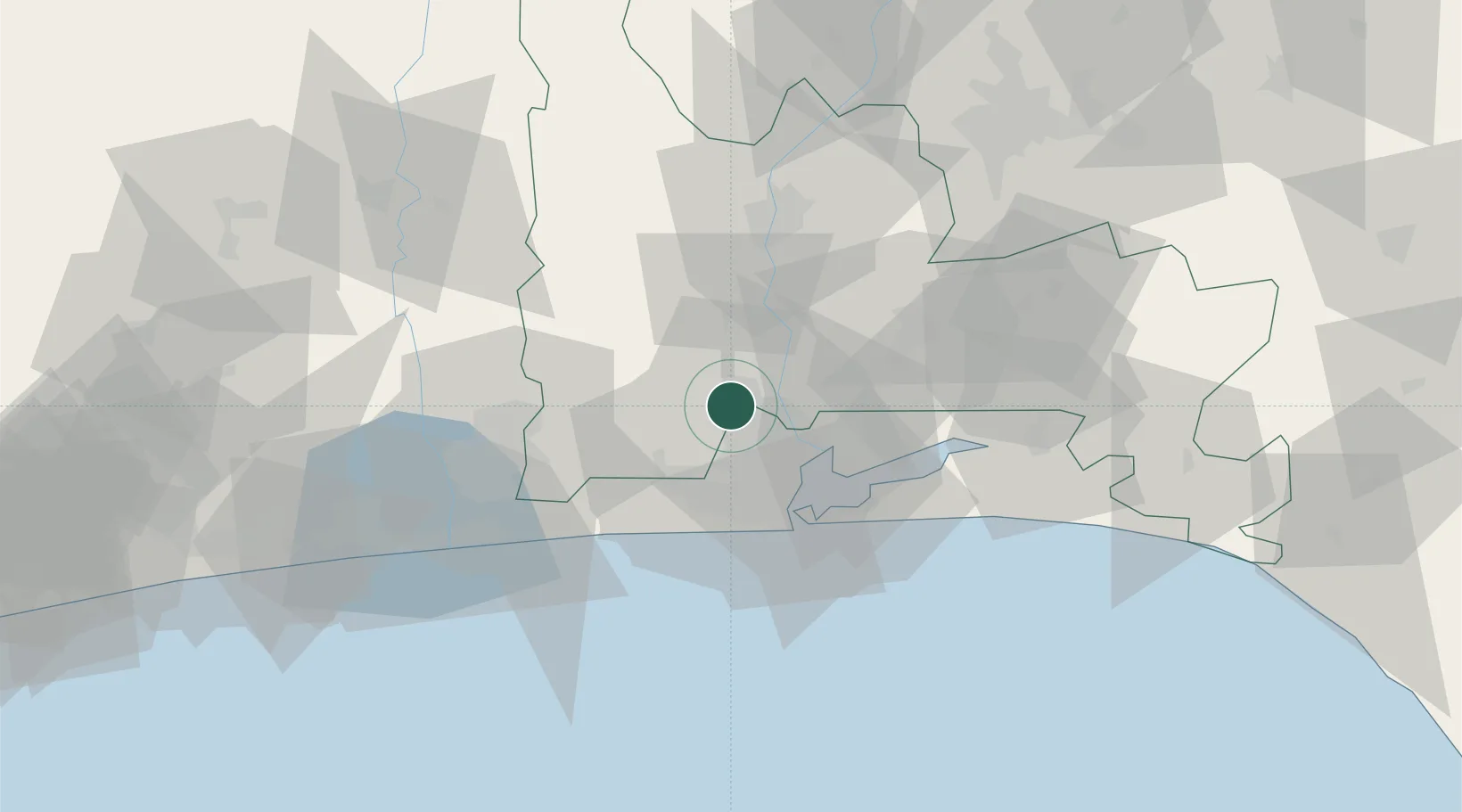
Nearby Logistics Neighbours

Cities
  1. 1Jibowu8 km
  2. 2Orile10 km
  3. 3Ipaja11 km
  4. 4Ifako12 km
  5. 5Aguda15 km
Nearest neighbours — logibook spatial index (haversine) over the source coordinates
Ports
  1. 1Lagos38 km
  2. 2Tin Can Island41 km
  3. 3Cotonou97 km
  4. 4Kpeme198 km
  5. 5Ukpokiti Marine Terminal207 km
Nearest neighbours — logibook spatial index (haversine) over the source coordinates
Airports
  1. 1Murtala Muhammed International Airport17 km
  2. 2Cotonou Cadjehoun International Airport101 km
  3. 3Ibadan Airport110 km
  4. 4Lomé–Tokoin International Airport227 km
  5. 5Akure Airport236 km
Nearest neighbours — logibook spatial index (haversine) over the source coordinates
Trade Zones
  1. 1Quits Aviation Services Zone17 km
  2. 2NAHCO Free Trade Zone17 km
  3. 3Airline Services Export Processing Zone18 km
  4. 4Ogun Guandong Free Trade Zone20 km
  5. 5Nasco Town Free Zone28 km
Nearest neighbours — logibook spatial index (haversine) over the source coordinates
DatabookThe Record of Consolidated Knowledge
Nigeria beyond logistics?
Browse databook

All Sources

LocationsUN/LOCODE
UN/LOCODE — free
Portsthe NGA World Port Index
Public domain (US gov)
AirportsOurAirports
Public domain
Trade Zonesthe World Bank SEZ database
CC BY 4.0
Trade ZonesOpen Zone Map
CC BY
← Nigeria locations