Specialized Zone · Nigeria

Quits Aviation Services Zone Active
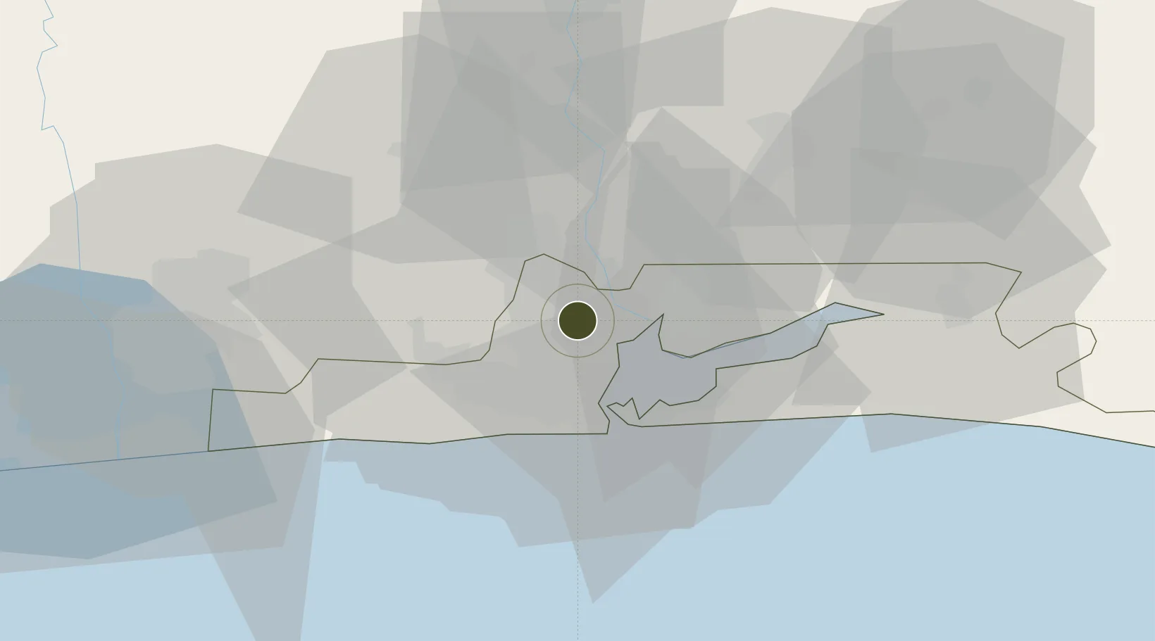
6.5912°, 3.3348°
2,700 ha
Zone area
22.4 km
Nearest port
2.2 km
Nearest airport

Gateway access

Nearest neighbours — logibook spatial index (haversine) over the source coordinates

Zone profile

Zone type
Specialized Zone
Open Zone Map
Specialization
Aerospace
Open Zone Map
Region
Lagos
Open Zone Map
Status
Active
Open Zone Map
Management
Public-Private Partnership
Open Zone Map
Operator
Federal Airports Authority of Nigeria, Quits Aviation Free Zone Co.
Open Zone Map
Legal framework
Section 10 (4) of the Nigeria Export Processing Zones Act No 63 of 1992
Open Zone Map

Location

Location of ozm-2979
Natural Earth 10m (public domain) · Lagos · ozm-2979 · 6.59, 3.33GoogleOSMYandex

Nearby Logistics Neighbours

Ports
  1. 1Lagos22 km
  2. 2Tin Can Island27 km
  3. 3Cotonou103 km
  4. 4Ukpokiti Marine Terminal191 km
  5. 5Kpeme206 km
Nearest neighbours — logibook spatial index (haversine) over the source coordinates
Airports
  1. 1Murtala Muhammed International Airport2 km
  2. 2Cotonou Cadjehoun International Airport108 km
  3. 3Ibadan Airport111 km
  4. 4Akure Airport229 km
  5. 5Lomé–Tokoin International Airport235 km
Nearest neighbours — logibook spatial index (haversine) over the source coordinates
Cities
  1. 1Oshodi5 km
  2. 2Aguda5 km
  3. 3Ifako5 km
  4. 4Orile6 km
  5. 5Shomolu7 km
Nearest neighbours — logibook spatial index (haversine) over the source coordinates
Trade Zones
  1. 1Airline Services Export Processing Zone3 km
  2. 2NAHCO Free Trade Zone3 km
  3. 3Tomaro Industrial Park17 km
  4. 4Nigerdock Free Zone18 km
  5. 5Eko Support Free Zone18 km
Nearest neighbours — logibook spatial index (haversine) over the source coordinates
DatabookThe Record of Consolidated Knowledge
Nigeria beyond logistics?
Browse databook

All Sources

Trade ZonesOpen Zone Map
CC BY
Portsthe NGA World Port Index
Public domain (US gov)
AirportsOurAirports
Public domain
LocationsUN/LOCODE
UN/LOCODE — free
← Nigeria trade zones