Export Processing Zone · Nigeria

Ogun Guandong Free Trade Zone
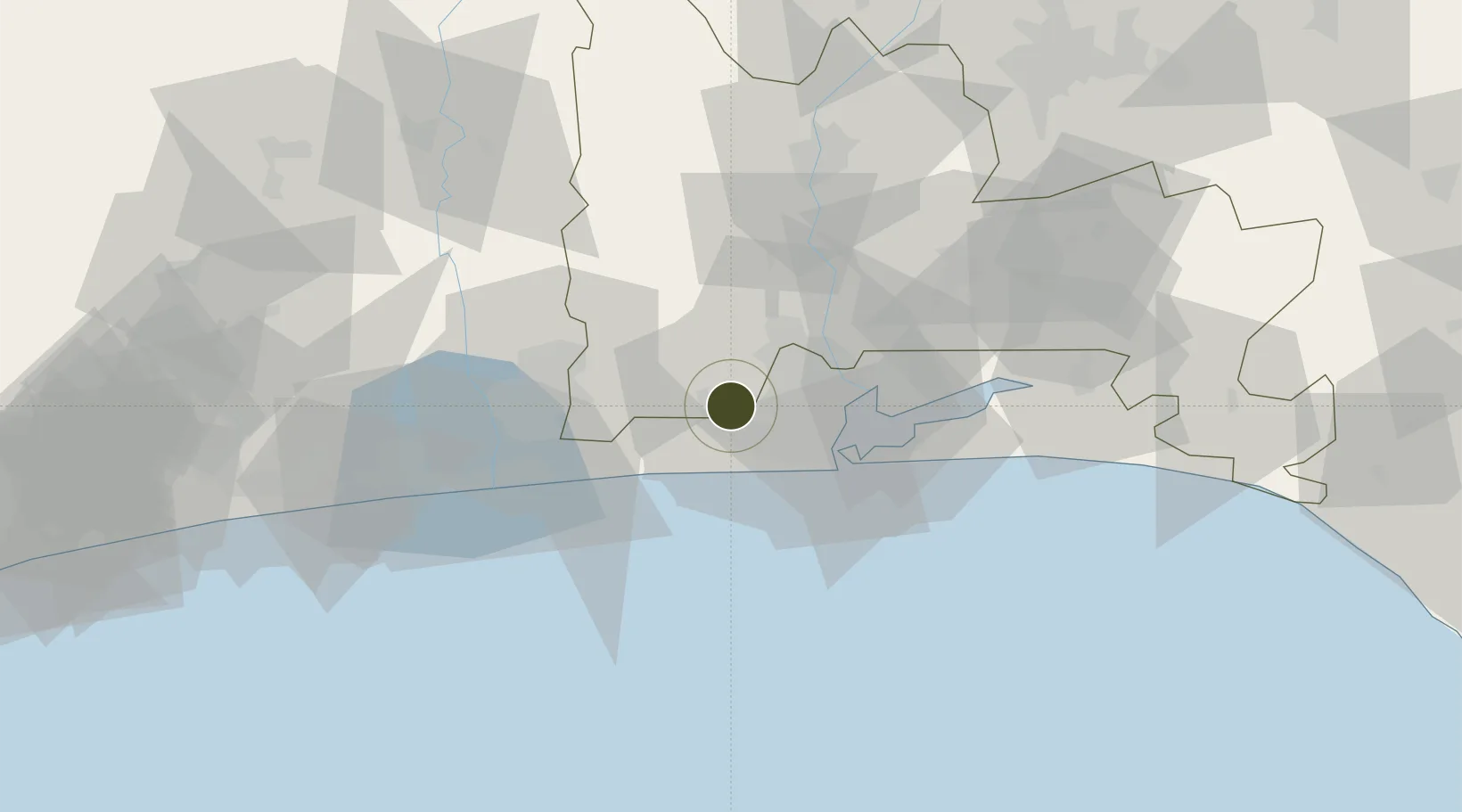
6.5536°, 3.1261°
33.5 km
Nearest port
21.7 km
Nearest airport

Gateway access

Nearest neighbours — logibook spatial index (haversine) over the source coordinates

Zone profile

Zone type
Export Processing Zone
the World Bank SEZ database
Region
Ogun
the World Bank SEZ database
Established
2008
the World Bank SEZ database
Management
Private management
the World Bank SEZ database
Operator
Zhongfu International Investment
the World Bank SEZ database
Regulatory authority
Nigeria Export Processing Zone Authority (NEPZA)
the World Bank SEZ database
Legal framework
Nigeria Export Processing Zones Decree No 63
the World Bank SEZ database

Location

Location of NGA11
Natural Earth 10m (public domain) · Ogun · NGA11 · 6.55, 3.13GoogleOSMYandex

Fiscal & incentives

Corporate tax
30%
the World Bank SEZ database
Tax relief
100% exempt
the World Bank SEZ database
Relief duration
Perpetual
the World Bank SEZ database
VAT
100% exempt from consumption tax on utilities
the World Bank SEZ database
Import duty (inputs)
100% exempt
the World Bank SEZ database
Import duty (capex)
100% exempt
the World Bank SEZ database
Profit repatriation
100% exempt from repatriation tax on capital, profits, and dividends
the World Bank SEZ database
Capital gains
100% exempt from any government tax
the World Bank SEZ database
Withholding tax
100% exempt from any government tax
the World Bank SEZ database
Min. investment
None
the World Bank SEZ database
Min. export
0%
the World Bank SEZ database
Employment incentive
100% exempt from any government tax
the World Bank SEZ database
Developer incentive
Yes
the World Bank SEZ database

Nearby Logistics Neighbours

Ports
  1. 1Tin Can Island34 km
  2. 2Lagos35 km
  3. 3Cotonou80 km
  4. 4Kpeme182 km
  5. 5Lome209 km
Nearest neighbours — logibook spatial index (haversine) over the source coordinates
Airports
  1. 1Murtala Muhammed International Airport22 km
  2. 2Cotonou Cadjehoun International Airport85 km
  3. 3Ibadan Airport130 km
  4. 4Lomé–Tokoin International Airport211 km
  5. 5Akure Airport252 km
Nearest neighbours — logibook spatial index (haversine) over the source coordinates
Cities
  1. 1Igando14 km
  2. 2Ipaja15 km
  3. 3Sango Otta20 km
  4. 4Jibowu20 km
  5. 5Agboju21 km
Nearest neighbours — logibook spatial index (haversine) over the source coordinates
Trade Zones
  1. 1Nasco Town Free Zone17 km
  2. 2NAHCO Free Trade Zone21 km
  3. 3Airline Services Export Processing Zone22 km
  4. 4Quits Aviation Services Zone23 km
  5. 5Badagry Creek Integrated Industrial Park26 km
Nearest neighbours — logibook spatial index (haversine) over the source coordinates
DatabookThe Record of Consolidated Knowledge
Nigeria beyond logistics?
Browse databook

All Sources

Trade Zonesthe World Bank SEZ database
CC BY 4.0
Portsthe NGA World Port Index
Public domain (US gov)
AirportsOurAirports
Public domain
LocationsUN/LOCODE
UN/LOCODE — free
← Nigeria trade zones