Free Trade Zone · Laos

Vangtao-Phonethong Special Economic Zone Under Development
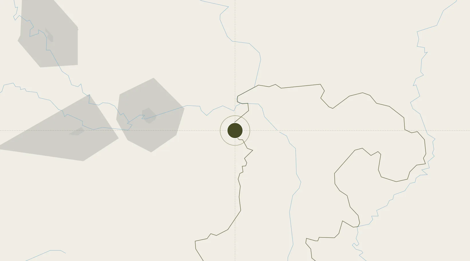
15.1313°, 105.4670°
253 ha
Zone area
313.5 km
Nearest port
33.6 km
Nearest airport

Gateway access

Nearest neighbours — logibook spatial index (haversine) over the source coordinates

Zone profile

Zone type
Free Trade Zone
Open Zone Map
Region
Champasak
Open Zone Map
Status
Under Development
Open Zone Map
Management
Private
Open Zone Map
Operator
Duangdy Construction Company
Open Zone Map
Legal framework
Prime Minister's Decree No. 443 on Special Economic Zone dated 26/10/2010
Open Zone Map

Location

Location of ozm-2694
Natural Earth 10m (public domain) · Champasak · ozm-2694 · 15.13, 105.47GoogleOSMYandex

Nearby Logistics Neighbours

Ports
  1. 1Da Nang314 km
  2. 2Nghe Tinh406 km
  3. 3Qui Nhon433 km
  4. 4Thanh Hoa500 km
  5. 5Thanh Ho Chi Minh504 km
Nearest neighbours — logibook spatial index (haversine) over the source coordinates
Airports
  1. 1Pakse International Airport34 km
  2. 2Ubon Ratchathani Airport65 km
  3. 3Savannakhet Airport176 km
  4. 4Roi Et Airport212 km
  5. 5Surin Airport214 km
Nearest neighbours — logibook spatial index (haversine) over the source coordinates
Cities
  1. 1Vangtao3 km
  2. 2Savannakhét180 km
  3. 3Tan Dinh246 km
  4. 4Tan Canh260 km
  5. 5Cua Viet Port268 km
Nearest neighbours — logibook spatial index (haversine) over the source coordinates
Trade Zones
  1. 1Pakse - Japan Sme Special Economic Zone47 km
  2. 2Mahanathy Siphandone Special Economic Zone113 km
  3. 3Mukdahan Special Economic Zone178 km
  4. 4Savan-Seno Special Economic Zone180 km
  5. 5Lao Bao Special Trade-Economic Zone204 km
Nearest neighbours — logibook spatial index (haversine) over the source coordinates
DatabookThe Record of Consolidated Knowledge
Laos beyond logistics?
Browse databook

All Sources

Trade ZonesOpen Zone Map
CC BY
Portsthe NGA World Port Index
Public domain (US gov)
AirportsOurAirports
Public domain
LocationsUN/LOCODE
UN/LOCODE — free
← Laos trade zones