Free Trade Zone · Laos

Pakse - Japan Sme Special Economic Zone Under Development
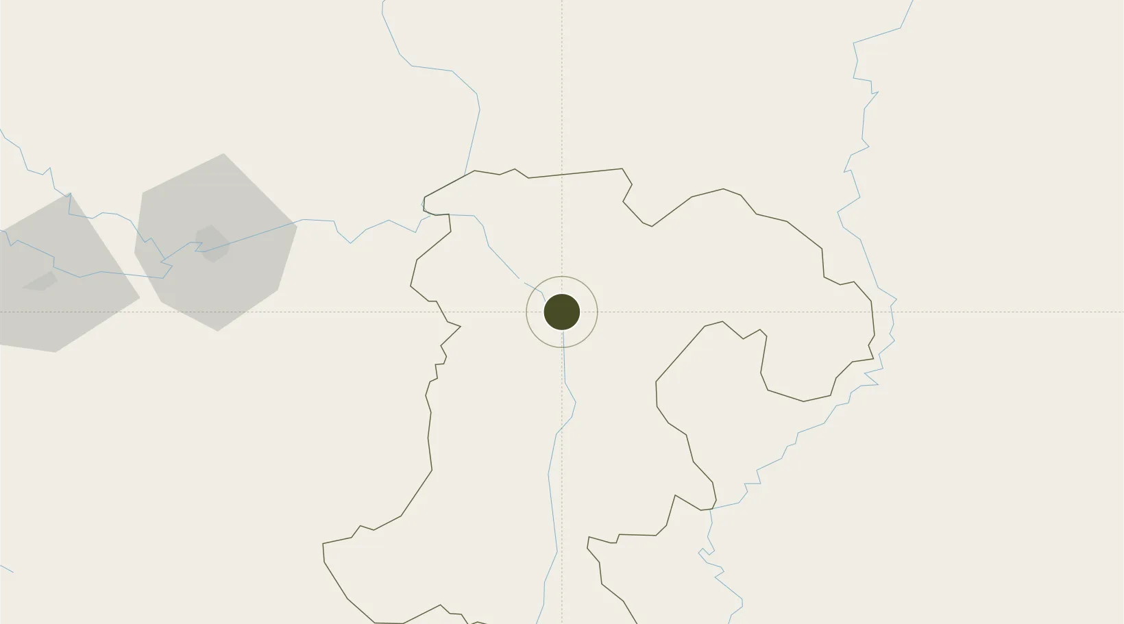
15.0341°, 105.8938°
195 ha
Zone area
275.6 km
Nearest port
16.5 km
Nearest airport

Gateway access

Nearest neighbours — logibook spatial index (haversine) over the source coordinates

Zone profile

Zone type
Free Trade Zone
Open Zone Map
Region
Champasak
Open Zone Map
Status
Under Development
Open Zone Map
Management
Private
Open Zone Map
Operator
Pakse-Japan SME SEZ Development Co. LTD
Open Zone Map
Legal framework
Prime Minister's Decree No. 443 on Special Economic Zone dated 26/10/2010
Open Zone Map

Location

Location of ozm-2693
Natural Earth 10m (public domain) · Champasak · ozm-2693 · 15.03, 105.89GoogleOSMYandex

Nearby Logistics Neighbours

Ports
  1. 1Da Nang276 km
  2. 2Qui Nhon386 km
  3. 3Nghe Tinh415 km
  4. 4Nha Trang475 km
  5. 5Thanh Hoa478 km
Nearest neighbours — logibook spatial index (haversine) over the source coordinates
Airports
  1. 1Pakse International Airport17 km
  2. 2Ubon Ratchathani Airport113 km
  3. 3Ratanakiri Airport187 km
  4. 4Savannakhet Airport208 km
  5. 5Phu Bai International Airport246 km
Nearest neighbours — logibook spatial index (haversine) over the source coordinates
Cities
  1. 1Vangtao49 km
  2. 2Savannakhét211 km
  3. 3Tan Canh213 km
  4. 4Tan Dinh228 km
  5. 5Phú Bai246 km
Nearest neighbours — logibook spatial index (haversine) over the source coordinates
Trade Zones
  1. 1Vangtao-Phonethong Special Economic Zone47 km
  2. 2Mahanathy Siphandone Special Economic Zone100 km
  3. 3Lao Bao Special Trade-Economic Zone191 km
  4. 4Mukdahan Special Economic Zone211 km
  5. 5Savan-Seno Special Economic Zone212 km
Nearest neighbours — logibook spatial index (haversine) over the source coordinates
DatabookThe Record of Consolidated Knowledge
Laos beyond logistics?
Browse databook

All Sources

Trade ZonesOpen Zone Map
CC BY
Portsthe NGA World Port Index
Public domain (US gov)
AirportsOurAirports
Public domain
LocationsUN/LOCODE
UN/LOCODE — free
← Laos trade zones