Channel & Berth Profile
Pilotage, Tugs & Services
Pilotage compulsoryYES
Pilotage availableYES
Tug assistanceYES
Potable waterYES
Facilities & Capabilities
Container—
Ro-Ro—
Liquid bulk—
Dry bulk—
Oil terminal—
Break bulk—
Dry dockNO
RepairsNO
BunkeringYES
Rail link—
Dangerous cargo—
ISPS security—
Harbour Specifications
Water body
Sea of Japan; North Pacific Ocean
Pilotage
Yes
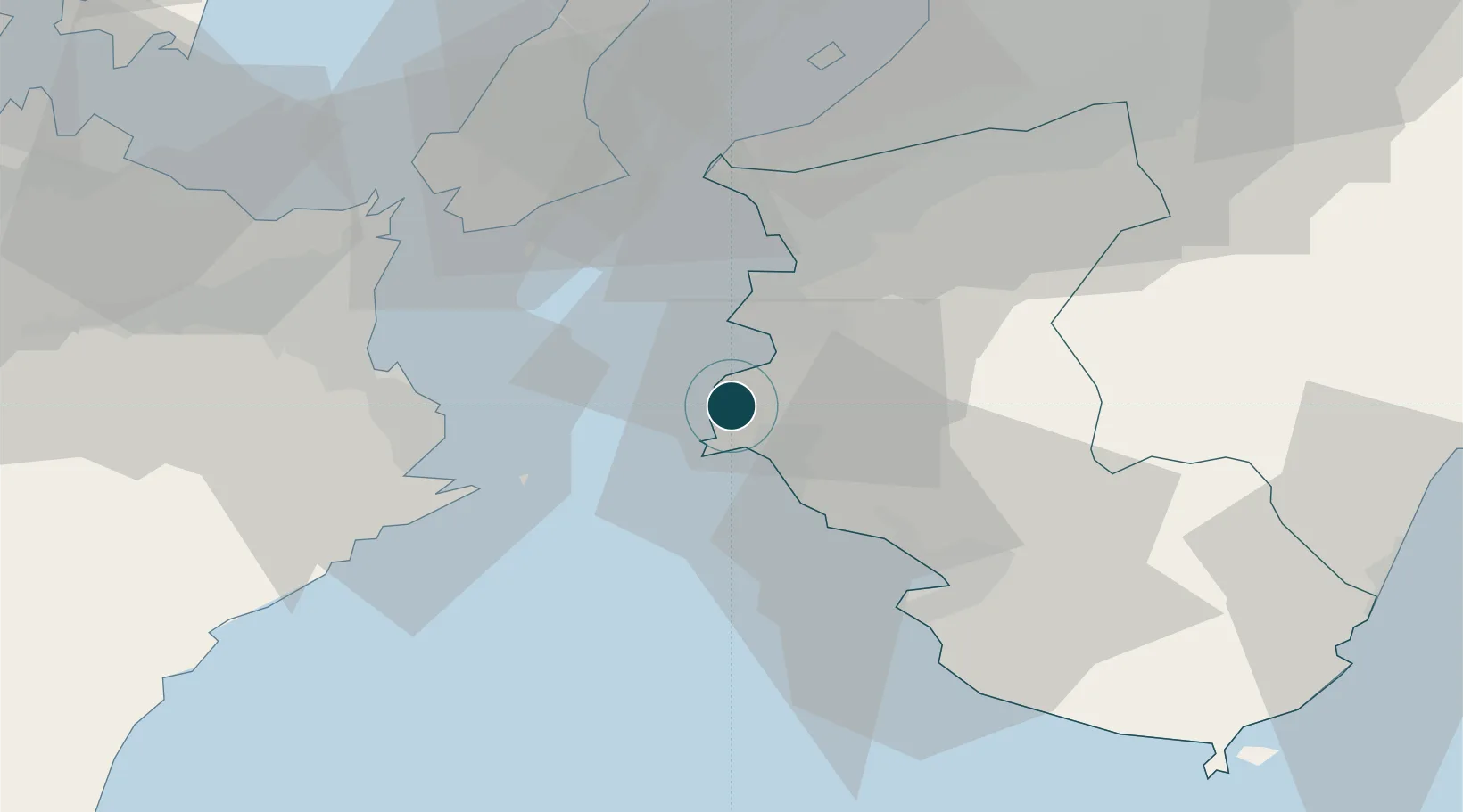
Location
Nearby Logistics Neighbours
Ports
- 1Wakayama-Shimotsu Ko28 km
- 2Tanabe Ko36 km
- 3Tachibana41 km
- 4Komatsushima47 km
- 5Hannan Ko62 km
Cities
- 1Gobo Wakayama9 km
- 2Dejima26 km
- 3Wakayama29 km
- 4Iwade39 km
- 5Kinokawa42 km
Airports
Trade Zones
- 1Awaji Environmental Future Island Special Zone48 km
- 2Wakayama Prefecture "Takano Kumano" Cultural and Regional Promotion Comprehensive Special Zone54 km
- 3Rinku Town Izumisano City Area Regional Revitalization Comprehensive Special Zone54 km
- 4Tokushima life innovation Comprehensive Special Zone60 km
- 5Kansai Innovation International Strategic Comprehensive Special Zone89 km
DatabookThe Record of Consolidated Knowledge
Japan beyond logistics?