UN/LOCODE hub · Japan
JPZZO

Ozu, Kumamoto

32.8667°, 130.8667°
1
Transport functions

Transport Functions

Multimodal
UN/LOCODE

Hub Profile

Region
43
GeoNames

Location

Location of JPZZO
Natural Earth 10m (public domain) · 43 · JPZZO · 32.87, 130.87GoogleOSMYandex

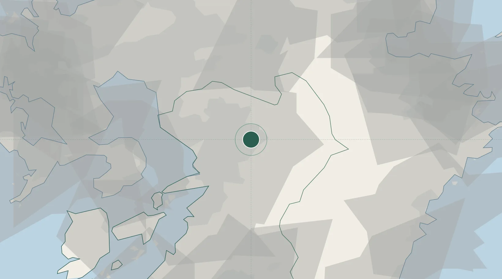
Nearby Logistics Neighbours

Cities
  1. 1Koshi8 km
  2. 2Kikuchi Kumamoto14 km
  3. 3Aso25 km
  4. 4Nagomi Kumamoto27 km
  5. 5Kumamoto29 km
Nearest neighbours — logibook spatial index (haversine) over the source coordinates
Ports
  1. 1Miike Ko45 km
  2. 2Misumi Ko48 km
  3. 3Yatsushiro Ko51 km
  4. 4Beppu79 km
  5. 5Oita Ko86 km
Nearest neighbours — logibook spatial index (haversine) over the source coordinates
Airports
  1. 1Kumamoto Airport3 km
  2. 2Kyushu Saga International Airport61 km
  3. 3Amakusa Airport79 km
  4. 4Fukuoka Airport89 km
  5. 5Nagasaki Airport89 km
Nearest neighbours — logibook spatial index (haversine) over the source coordinates
DatabookThe Record of Consolidated Knowledge
Japan beyond logistics?
Browse databook

All Sources

LocationsUN/LOCODE
UN/LOCODE — free
Portsthe NGA World Port Index
Public domain (US gov)
AirportsOurAirports
Public domain
Trade Zonesthe World Bank SEZ database
CC BY 4.0
Trade ZonesOpen Zone Map
CC BY
← Japan locations