Transport Functions
Port
Multimodal
Hub Profile
Place type
Provincial seat
Region
Kumamoto
Population
61,772
Time zone
Asia/Tokyo
Elevation
71 m
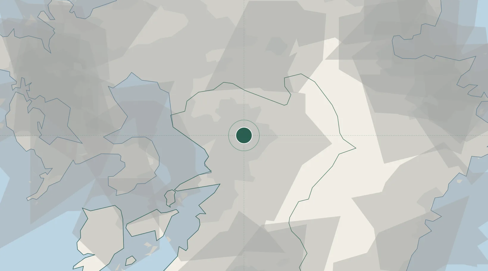
Location
Nearby Logistics Neighbours
Cities
- 1Ozu, Kumamoto8 km
- 2Kikuchi Kumamoto12 km
- 3Nagomi Kumamoto20 km
- 4Kumamoto23 km
- 5Aso32 km
Ports
- 1Miike Ko37 km
- 2Misumi Ko43 km
- 3Yatsushiro Ko49 km
- 4Beppu84 km
- 5Minamata Ko85 km
Airports
- 1Kumamoto Airport8 km
- 2Kyushu Saga International Airport54 km
- 3Amakusa Airport74 km
- 4Nagasaki Airport81 km
- 5Fukuoka Airport84 km
DatabookThe Record of Consolidated Knowledge
Japan beyond logistics?