UN/LOCODE hub · Japan
JPKKH

Kikuchi Kumamoto

32.9833°, 130.8167°
1
Transport functions

Transport Functions

Multimodal
UN/LOCODE

Hub Profile

Region
43
GeoNames

Location

Location of JPKKH
Natural Earth 10m (public domain) · 43 · JPKKH · 32.98, 130.82GoogleOSMYandex

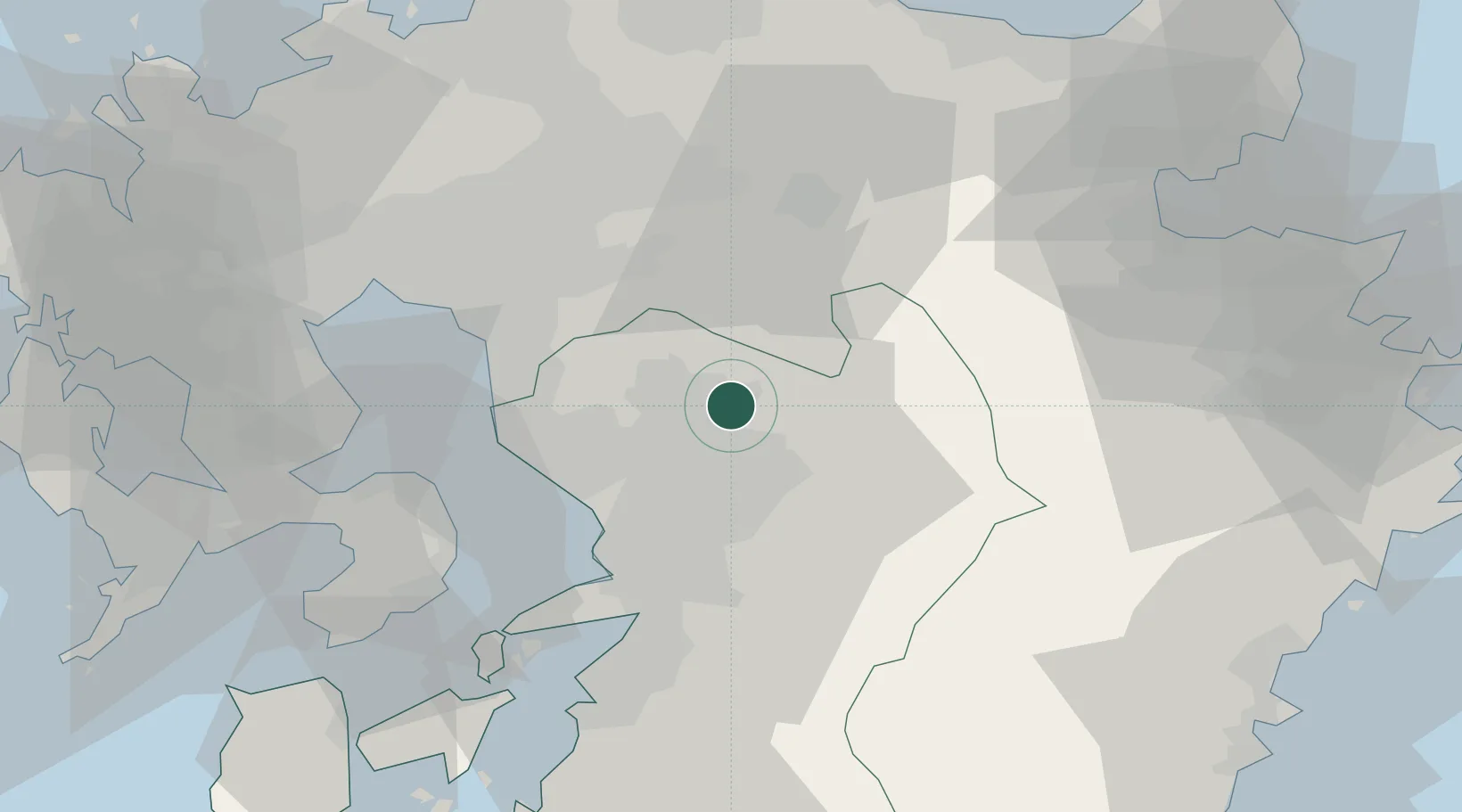
Nearby Logistics Neighbours

Cities
  1. 1Koshi12 km
  2. 2Ozu, Kumamoto14 km
  3. 3Nagomi Kumamoto20 km
  4. 4Aso29 km
  5. 5Kumamoto33 km
Nearest neighbours — logibook spatial index (haversine) over the source coordinates
Ports
  1. 1Miike Ko37 km
  2. 2Misumi Ko54 km
  3. 3Yatsushiro Ko60 km
  4. 4Beppu75 km
  5. 5Hakata79 km
Nearest neighbours — logibook spatial index (haversine) over the source coordinates
Airports
  1. 1Kumamoto Airport17 km
  2. 2Kyushu Saga International Airport51 km
  3. 3Fukuoka Airport75 km
  4. 4JASDF Tsuiki Air Base81 km
  5. 5Amakusa Airport83 km
Nearest neighbours — logibook spatial index (haversine) over the source coordinates
DatabookThe Record of Consolidated Knowledge
Japan beyond logistics?
Browse databook

All Sources

LocationsUN/LOCODE
UN/LOCODE — free
Portsthe NGA World Port Index
Public domain (US gov)
AirportsOurAirports
Public domain
Trade Zonesthe World Bank SEZ database
CC BY 4.0
Trade ZonesOpen Zone Map
CC BY
← Japan locations