Specialized Zone · India

Sterlite Industries (India) Limited Active
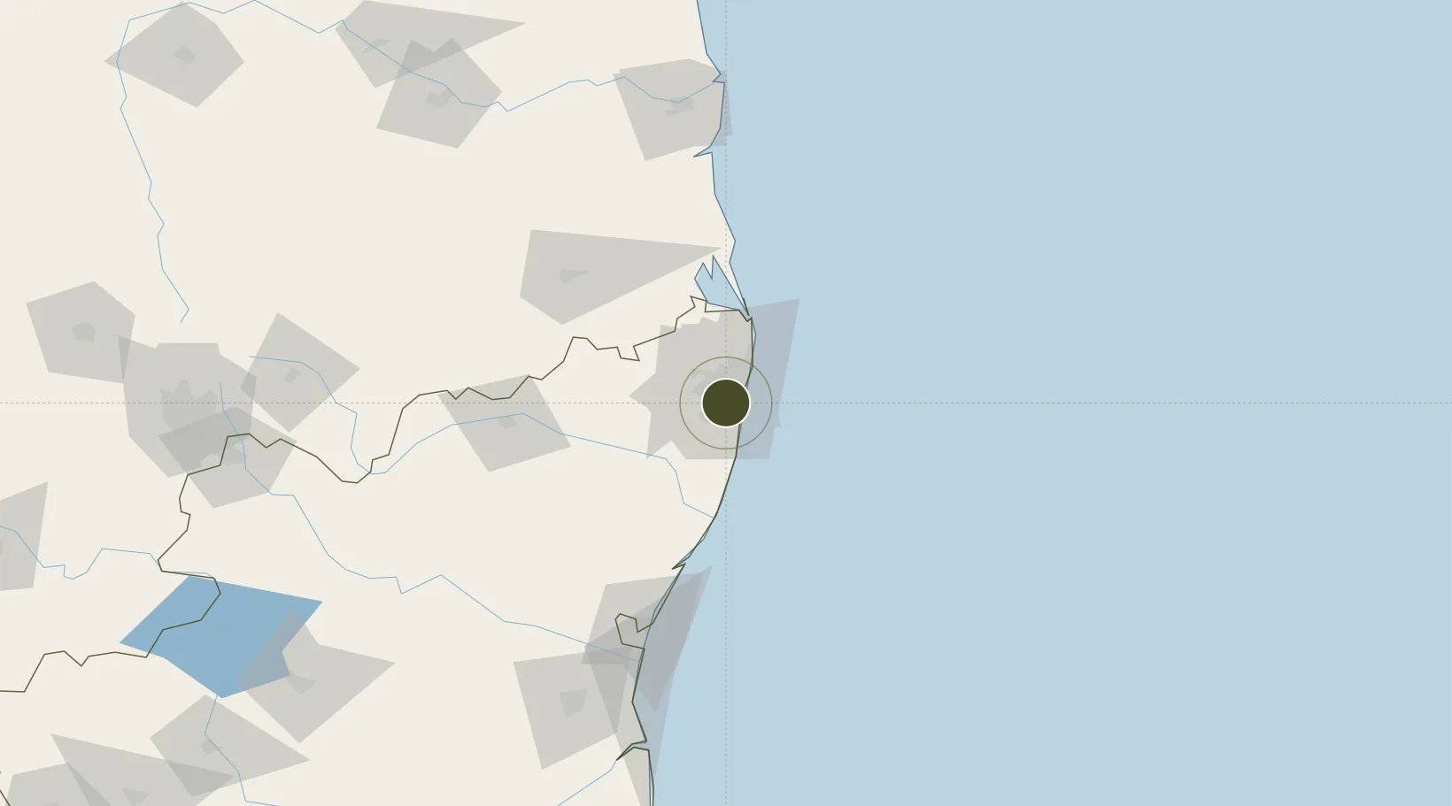
13.0197°, 80.2038°
128 ha
Zone area
13.7 km
Nearest port
5.0 km
Nearest airport

Gateway access

Nearest neighbours — logibook spatial index (haversine) over the source coordinates

Zone profile

Zone type
Specialized Zone
Open Zone Map
Specialization
Mining
Open Zone Map
Region
Tamil Nadu
Open Zone Map
Status
Active
Open Zone Map
Management
Private
Open Zone Map
Operator
Vedanta Limited
Open Zone Map
Legal framework
The Special Economic Zones Act, 2005, Tamil Nadu acquisition of land for industrial purpouses (amendment act, 2005)
Open Zone Map

Location

Location of ozm-2301
Natural Earth 10m (public domain) · Tamil Nadu · ozm-2301 · 13.02, 80.20GoogleOSMYandex

Nearby Logistics Neighbours

Ports
  1. 1Chennai (Madras)14 km
  2. 2Kamarajar Port31 km
  3. 3Pondicherry127 km
  4. 4Kattupalli Port137 km
  5. 5Cuddalore153 km
Nearest neighbours — logibook spatial index (haversine) over the source coordinates
Airports
  1. 1Chennai International Airport5 km
  2. 2Tirupati International Airport99 km
  3. 3Pondicherry Airport124 km
  4. 4Kadapa Airport227 km
  5. 5Salem Airport270 km
Nearest neighbours — logibook spatial index (haversine) over the source coordinates
Cities
  1. 1Kodambakkam2 km
  2. 2Adambakkam4 km
  3. 3Koyambedu5 km
  4. 4Adyar6 km
  5. 5Egmore7 km
Nearest neighbours — logibook spatial index (haversine) over the source coordinates
Trade Zones
  1. 1DLF Limited3 km
  2. 2L & T Shipbuilding3 km
  3. 3DLF Info City3 km
  4. 4Shriram Properties And Infrastructure Private Limited5 km
  5. 5CCCL Infrastructure Limited7 km
Nearest neighbours — logibook spatial index (haversine) over the source coordinates
DatabookThe Record of Consolidated Knowledge
India beyond logistics?
Browse databook

All Sources

Trade ZonesOpen Zone Map
CC BY
Portsthe NGA World Port Index
Public domain (US gov)
AirportsOurAirports
Public domain
LocationsUN/LOCODE
UN/LOCODE — free
← India trade zones