Transport Functions
Multimodal
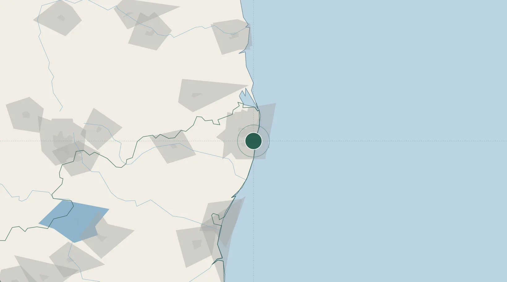
Hub Profile
Place type
Populated place
Region
Tamil Nadu
Time zone
Asia/Kolkata
Elevation
13 m
Location
Nearby Logistics Neighbours
Cities
- 1Kottivakkam4 km
- 2Kodambakkam5 km
- 3Adambakkam6 km
- 4Egmore7 km
- 5Koyambedu9 km
Ports
- 1Chennai (Madras)12 km
- 2Kamarajar Port31 km
- 3Pondicherry127 km
- 4Kattupalli Port140 km
- 5Cuddalore152 km
Airports
- 1Chennai International Airport9 km
- 2Tirupati International Airport104 km
- 3Pondicherry Airport124 km
- 4Kadapa Airport232 km
- 5Salem Airport273 km
Trade Zones
DatabookThe Record of Consolidated Knowledge
India beyond logistics?