Transport Functions
Multimodal
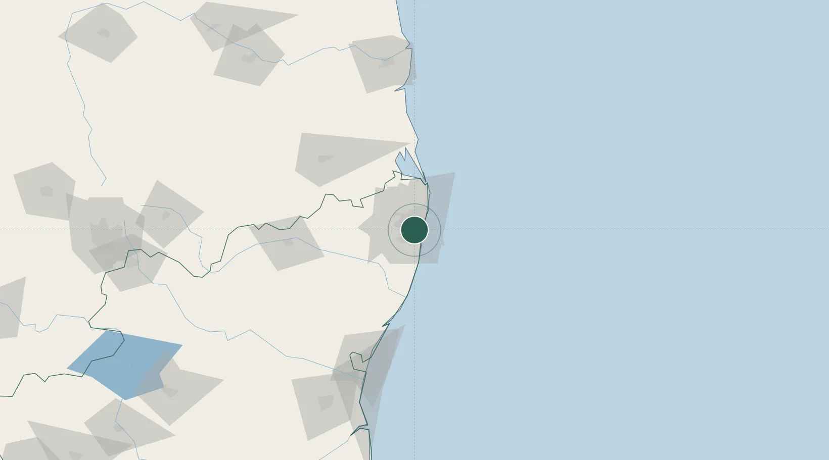
Hub Profile
Place type
Urban district
Region
Tamil Nadu
Time zone
Asia/Kolkata
Elevation
14 m
Location
Nearby Logistics Neighbours
Cities
- 1Koyambedu4 km
- 2Egmore5 km
- 3Adyar5 km
- 4Adambakkam6 km
- 5Choolai8 km
Ports
- 1Chennai (Madras)12 km
- 2Kamarajar Port29 km
- 3Pondicherry129 km
- 4Kattupalli Port136 km
- 5Cuddalore154 km
Airports
- 1Chennai International Airport7 km
- 2Tirupati International Airport99 km
- 3Pondicherry Airport126 km
- 4Kadapa Airport227 km
- 5Salem Airport272 km
Trade Zones
DatabookThe Record of Consolidated Knowledge
India beyond logistics?