Transport Functions
Multimodal
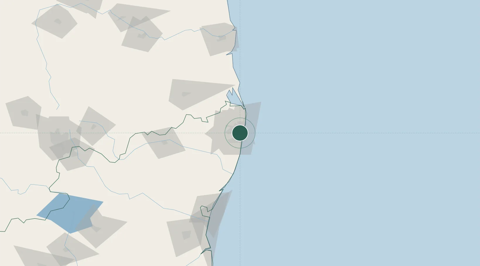
Hub Profile
Place type
Urban district
Region
Tamil Nadu
Time zone
Asia/Kolkata
Elevation
17 m
Location
Nearby Logistics Neighbours
Cities
- 1Choolai3 km
- 2TIPL SEZ/Chennai4 km
- 3CTSI SEZ/Siruseri4 km
- 4HTL SEZ/Siruseri4 km
- 5TCSL SEZ/Siruseri4 km
Ports
- 1Chennai (Madras)7 km
- 2Kamarajar Port24 km
- 3Kattupalli Port132 km
- 4Pondicherry134 km
- 5Cuddalore159 km
Airports
DatabookThe Record of Consolidated Knowledge
India beyond logistics?