UN/LOCODE hub · India
INHLE

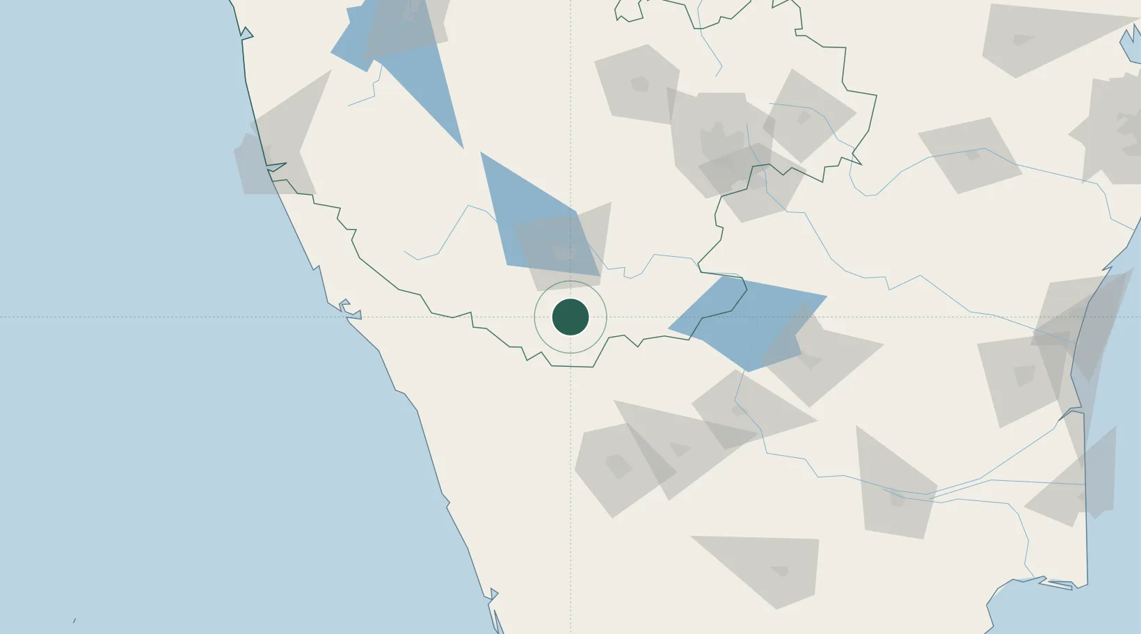
Infosys Electronic City Sez/Begur Hobli

11.9333°, 76.6833°
1
Transport functions

Transport Functions

Multimodal
UN/LOCODE

Hub Profile

Region
KA
GeoNames

Location

Location of INHLE
Natural Earth 10m (public domain) · KA · INHLE · 11.93, 76.68GoogleOSMYandex

Nearby Logistics Neighbours

Cities
  1. 1Coonoor67 km
  2. 2Siddapur98 km
  3. 3Tudiyalür99 km
  4. 4CHIPL SEZ/Coimbatore104 km
  5. 5Kanakapura105 km
Nearest neighbours — logibook spatial index (haversine) over the source coordinates
Ports
  1. 1Calicut (Kozhikode)126 km
  2. 2Beypore129 km
  3. 3Azhikal (Azhikkal)150 km
  4. 4Kochi (Cochin)224 km
  5. 5New Mangalore230 km
Nearest neighbours — logibook spatial index (haversine) over the source coordinates
Airports
  1. 1Mysore Airport33 km
  2. 2Coimbatore International Airport108 km
  3. 3Calicut International Airport119 km
  4. 4Kannur International Airport124 km
  5. 5Salem Airport151 km
Nearest neighbours — logibook spatial index (haversine) over the source coordinates
Trade Zones
  1. 1Infosys Ltd SEZ (Mysuru)48 km
  2. 2Aspen Karumathamapatti Special Economic Zone (Formerly Aspen)104 km
  3. 3Rathinam Techzone116 km
  4. 4Span Ventures116 km
  5. 5Kerala State Information Technology Infrastructure Limited119 km
Nearest neighbours — logibook spatial index (haversine) over the source coordinates
DatabookThe Record of Consolidated Knowledge
India beyond logistics?
Browse databook

All Sources

LocationsUN/LOCODE
UN/LOCODE — free
Portsthe NGA World Port Index
Public domain (US gov)
AirportsOurAirports
Public domain
Trade Zonesthe World Bank SEZ database
CC BY 4.0
Trade ZonesOpen Zone Map
CC BY
← India locations