Specialized Zone · India
Sattva Global City SEZ Active
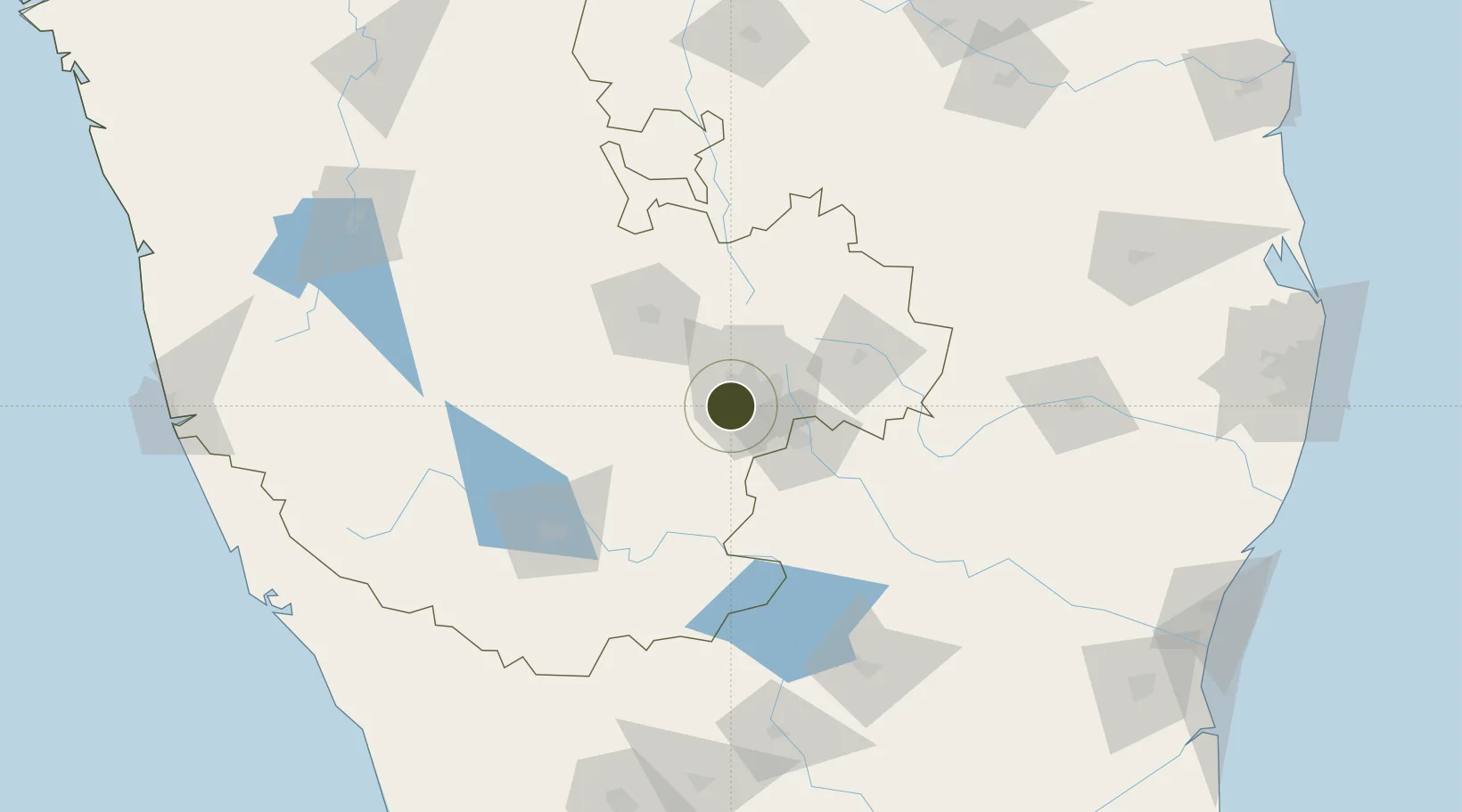
12.9202°, 77.5008°
26 ha
Zone area
261.5 km
Nearest port
18.4 km
Nearest airport
Gateway access
Zone profile
Zone type
Specialized Zone
Specialization
IT
Region
Karnataka
Status
Active
Management
Private
Operator
Tanglin Developments Limited
Legal framework
Board of Approval Letter No.F.2/106/2005-EPZ
Location
Nearby Logistics Neighbours
Ports
- 1Azhikal (Azhikkal)262 km
- 2Calicut (Kozhikode)265 km
- 3Beypore269 km
- 4Pondicherry276 km
- 5Cuddalore280 km
Airports
- 1HAL Airport18 km
- 2Jakkur Aerodrome20 km
- 3Kempegowda International Airport Bengaluru38 km
- 4Mysore Airport120 km
- 5Sri Sathya Sai Airport140 km
Cities
- 1Sdpl Sez/Bangalore8 km
- 2Kbits-SEZ/Bangalore11 km
- 3GOCL SEZ/Bangalore11 km
- 4Biocon-SEZ/Bangalore11 km
- 5Apllp Sez/Bangalore13 km
DatabookThe Record of Consolidated Knowledge
India beyond logistics?