Specialized Zone · India

Hcl Technologies Ltd. Active
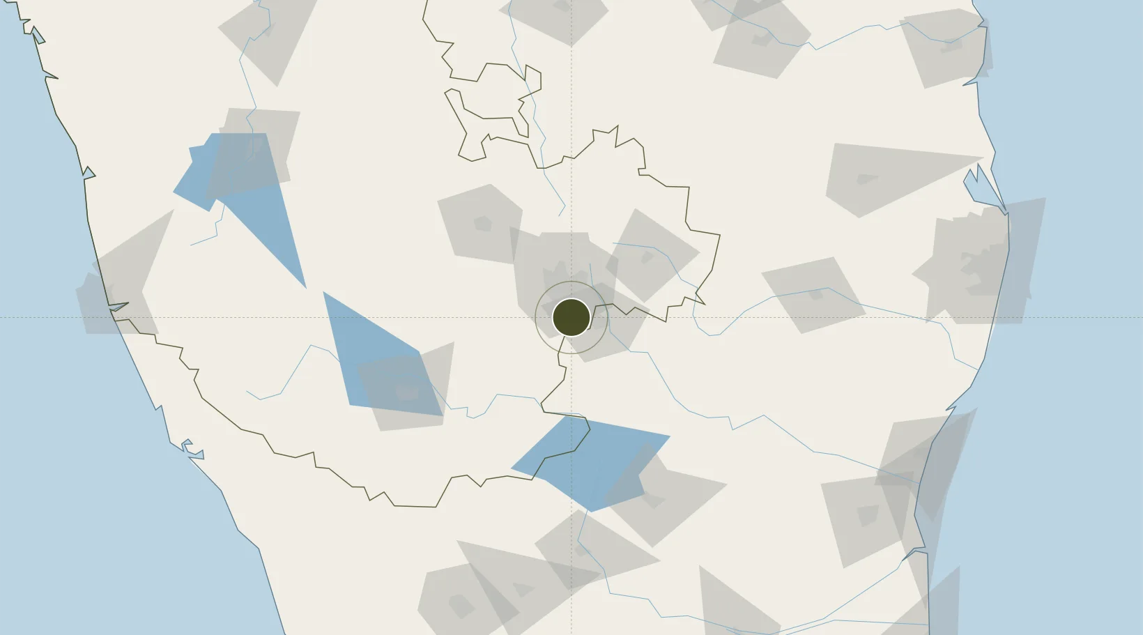
12.7873°, 77.6517°
10 ha
Zone area
255.3 km
Nearest port
18.2 km
Nearest airport

Gateway access

Nearest neighbours — logibook spatial index (haversine) over the source coordinates

Zone profile

Zone type
Specialized Zone
Open Zone Map
Specialization
IT
Open Zone Map
Region
Karnataka
Open Zone Map
Status
Active
Open Zone Map
Management
Private
Open Zone Map
Operator
Hcl Technologies Ltd.
Open Zone Map
Legal framework
LoA 9/022/SEZ/HYD/2008 dated 27.05.2008
Open Zone Map

Location

Location of ozm-2202
Natural Earth 10m (public domain) · Karnataka · ozm-2202 · 12.79, 77.65GoogleOSMYandex

Nearby Logistics Neighbours

Ports
  1. 1Pondicherry255 km
  2. 2Cuddalore259 km
  3. 3Calicut (Kozhikode)267 km
  4. 4Beypore270 km
  5. 5Azhikal (Azhikkal)271 km
Nearest neighbours — logibook spatial index (haversine) over the source coordinates
Airports
  1. 1HAL Airport18 km
  2. 2Jakkur Aerodrome33 km
  3. 3Kempegowda International Airport Bengaluru46 km
  4. 4Salem Airport120 km
  5. 5Mysore Airport125 km
Nearest neighbours — logibook spatial index (haversine) over the source coordinates
Cities
  1. 1Bd Sez/Bangalore7 km
  2. 2Apllp Sez/Bangalore11 km
  3. 3Sdpl Sez/Bangalore16 km
  4. 4HOSUR ICD20 km
  5. 5Itpl Sezii/Whitefield23 km
Nearest neighbours — logibook spatial index (haversine) over the source coordinates
Trade Zones
  1. 1Wipro Limited (Electronic City)6 km
  2. 2Biocon Special Economic Zone6 km
  3. 3M s. Opto Infrastructure Limited6 km
  4. 4Velankani Technology Parks Pvt. Ltd.7 km
  5. 5Wipro Limited (Sarjapur)15 km
Nearest neighbours — logibook spatial index (haversine) over the source coordinates
DatabookThe Record of Consolidated Knowledge
India beyond logistics?
Browse databook

All Sources

Trade ZonesOpen Zone Map
CC BY
Portsthe NGA World Port Index
Public domain (US gov)
AirportsOurAirports
Public domain
LocationsUN/LOCODE
UN/LOCODE — free
← India trade zones