Transport Functions
Port
Rail
Road
Airport
Hub Profile
Place type
District seat
Region
Lower Saxony
Population
51,526
Time zone
Europe/Berlin
Elevation
2 m
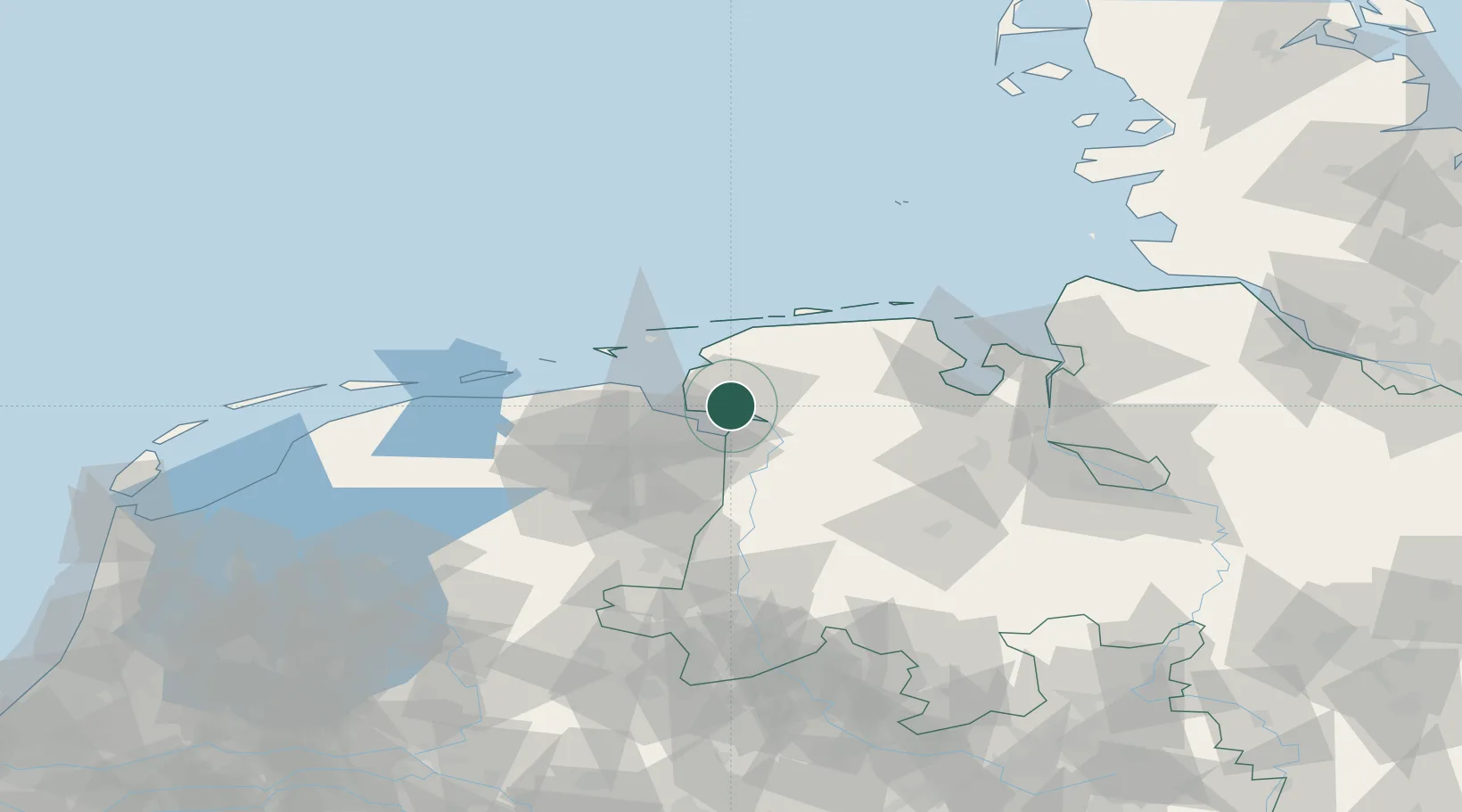
Location
Nearby Logistics Neighbours
Cities
- 1Ditzum7 km
- 2Oldersum9 km
- 3Termunterzijl14 km
- 4Nieuwe Statenzijl15 km
- 5Borgsweer15 km
Ports
- 1Delfzijl19 km
- 2Leer22 km
- 3Eemshaven27 km
- 4Papenburg32 km
- 5Wilhelmshaven66 km
Airports
- 1Emden Airport3 km
- 2Norden-Norddeich Airport30 km
- 3Wittmundhafen Air Base36 km
- 4Juist Airport37 km
- 5Norderney Airport38 km
Trade Zones
DatabookThe Record of Consolidated Knowledge
Germany beyond logistics?