Transport Functions
Port
Rail
Postal
Hub Profile
Place type
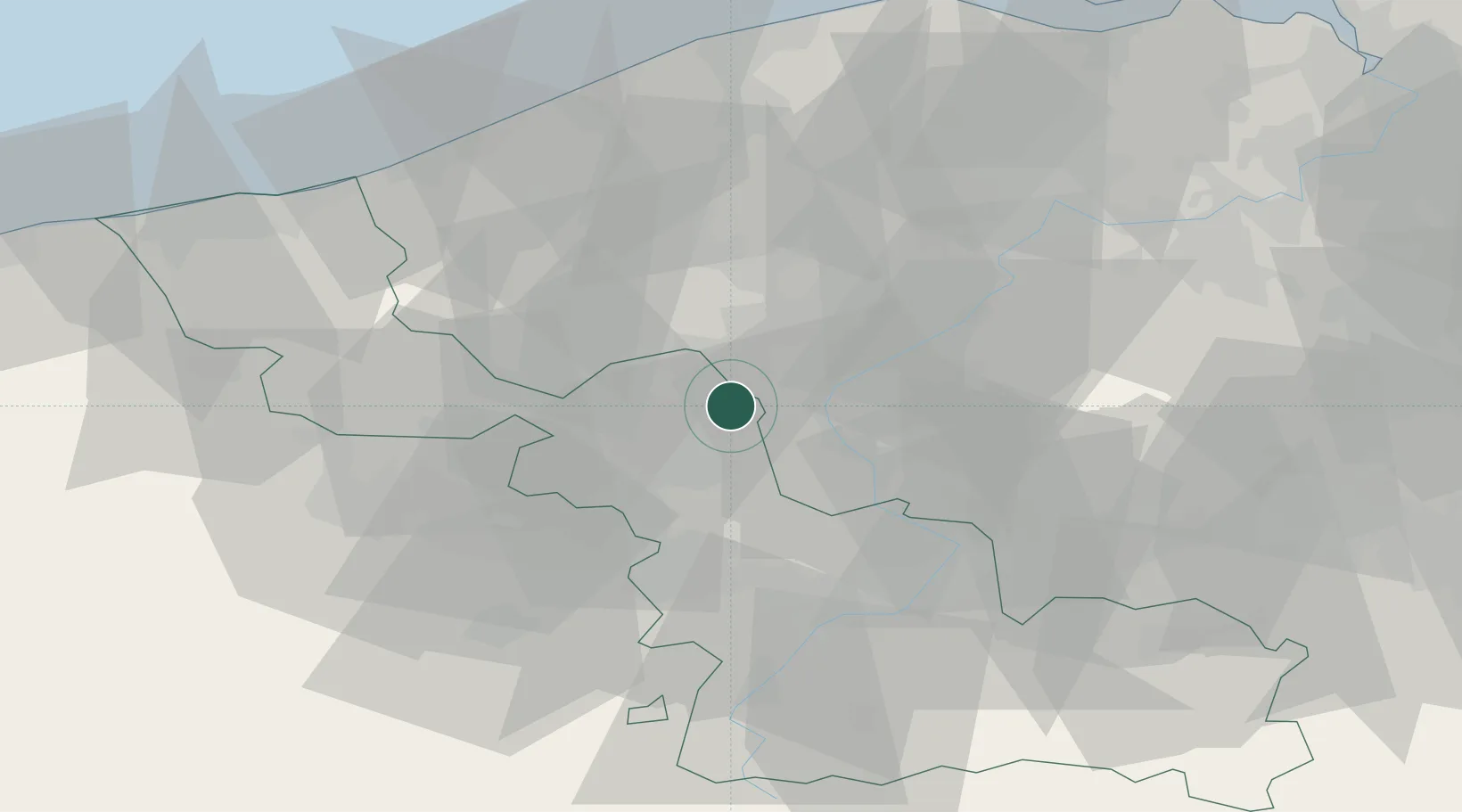
Populated place
Region
Hauts-de-France
Population
99,507
Time zone
Europe/Paris
Elevation
33 m
Location
Nearby Logistics Neighbours
Cities
- 1Tourcoing4 km
- 2Lannoy4 km
- 3Toufflers4 km
- 4Estaimpuis5 km
- 5Mons-en-Barul7 km
Ports
- 1Ghent58 km
- 2Nieuwpoort59 km
- 3Bruges61 km
- 4Oostende64 km
- 5Zeebrugge72 km
Airports
DatabookThe Record of Consolidated Knowledge
France beyond logistics?