Transport Functions
Rail
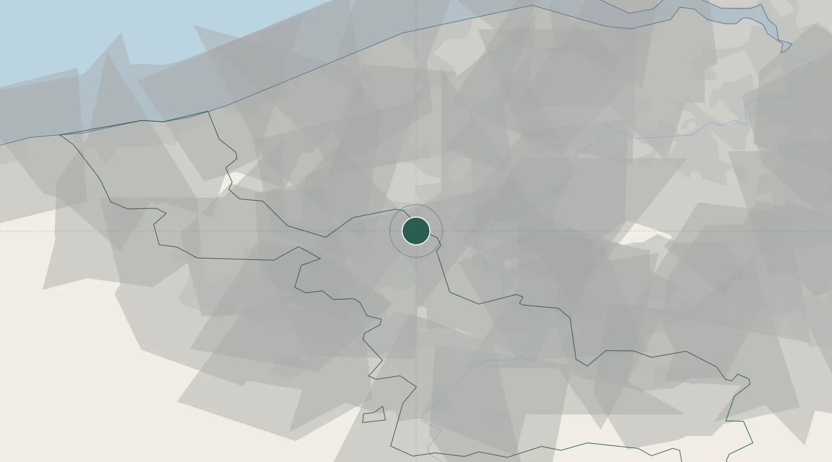
Hub Profile
Place type
Populated place
Region
Hauts-de-France
Population
99,160
Time zone
Europe/Paris
Elevation
49 m
Location
Nearby Logistics Neighbours
Cities
- 1Roubaix4 km
- 2Roncq5 km
- 3Estaimpuis6 km
- 4Aalbeke7 km
- 5Toufflers7 km
Ports
- 1Nieuwpoort55 km
- 2Ghent56 km
- 3Bruges58 km
- 4Oostende60 km
- 5Zeebrugge69 km
Airports
DatabookThe Record of Consolidated Knowledge
France beyond logistics?