Transport Functions
Port
Rail
Road
Hub Profile
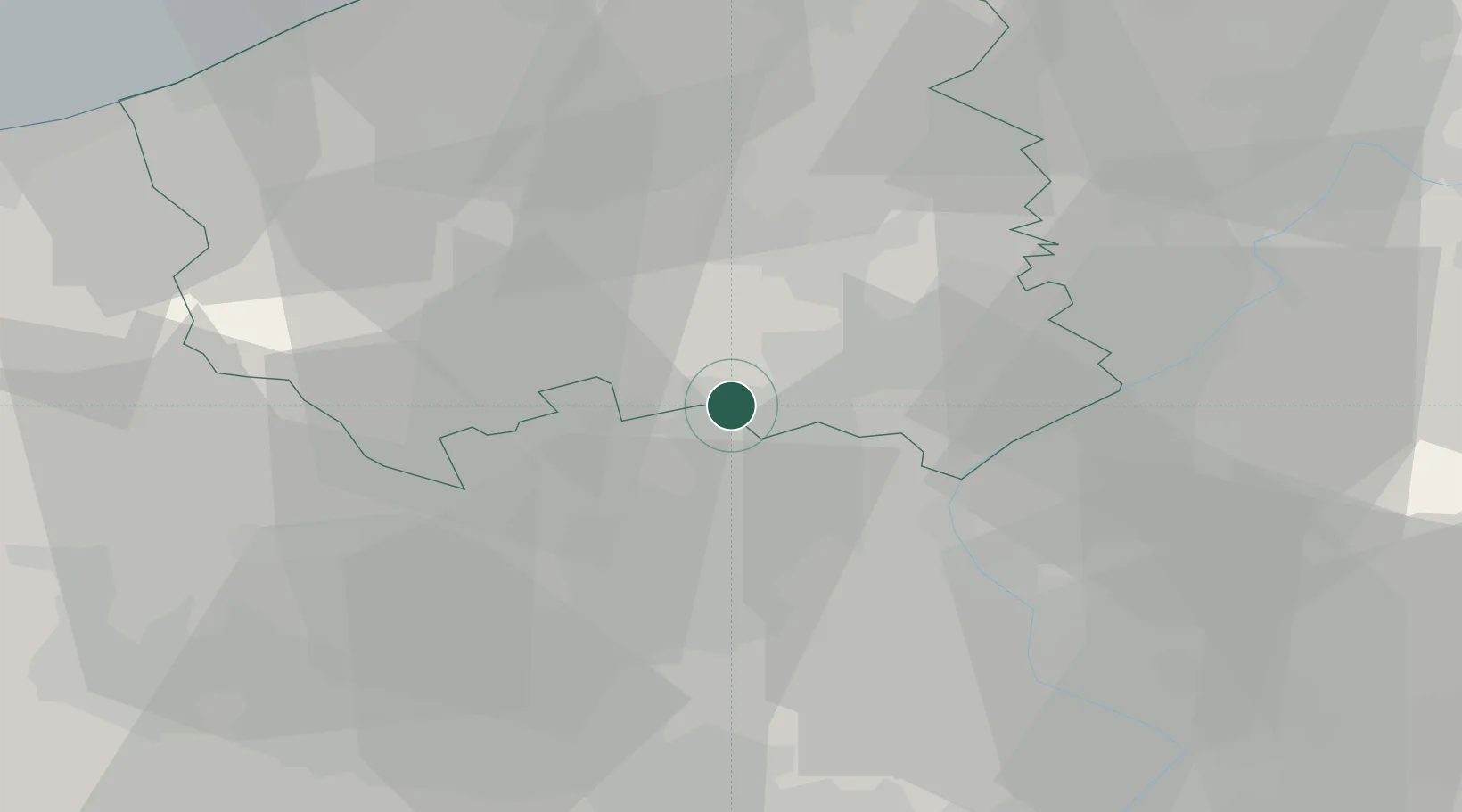
Region
VWV
Location
Nearby Logistics Neighbours
Ports
- 1Nieuwpoort47 km
- 2Bruges50 km
- 3Oostende52 km
- 4Ghent53 km
- 5Zeebrugge61 km
Airports
DatabookThe Record of Consolidated Knowledge
Belgium beyond logistics?