Transport Functions
Rail
Road
Hub Profile
Place type
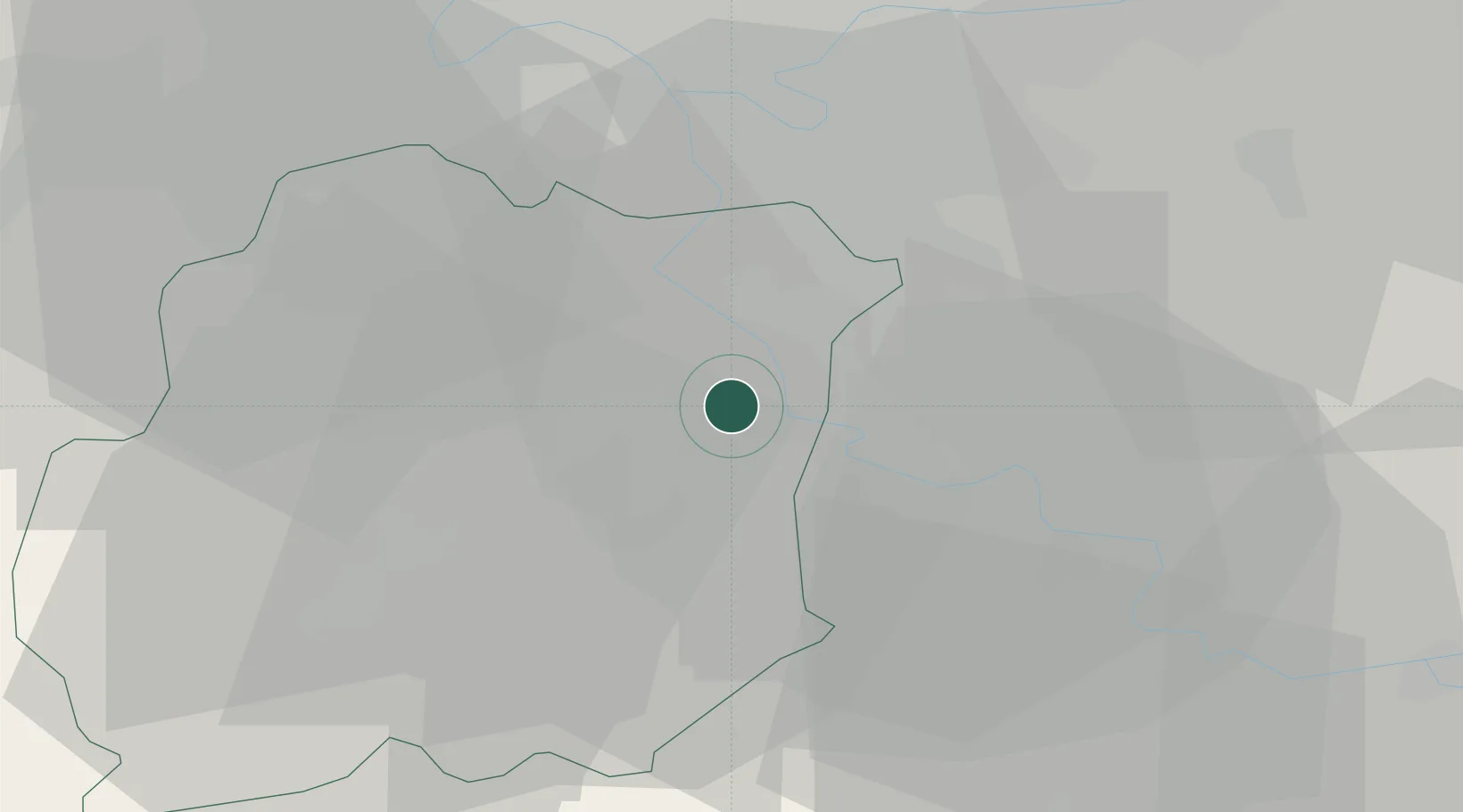
Populated place
Region
Île-de-France
Population
5,090
Time zone
Europe/Paris
Elevation
84 m
Location
Nearby Logistics Neighbours
Cities
- 1Corbeil-Essonnes3 km
- 2Évry4 km
- 3Morsang-sur-Seine4 km
- 4Fontenay-le-Vicomte5 km
- 5Étiolles6 km
Ports
- 1Port Of Rouen140 km
- 2Dieppe180 km
- 3Le Treport183 km
- 4Honfleur187 km
- 5Saint-Valery-Sur-Somme188 km
Airports
Trade Zones
- 1ZFU Corbeil-Evry2 km
- 2ZFU Grigny Viry-Châtillon11 km
- 3ZFU Epinay-sous-Sénart12 km
- 4ZFU Melun15 km
- 5ZFU Choisy-le-Roi et Orly20 km
DatabookThe Record of Consolidated Knowledge
France beyond logistics?