UN/LOCODE hub · France
FRCOE
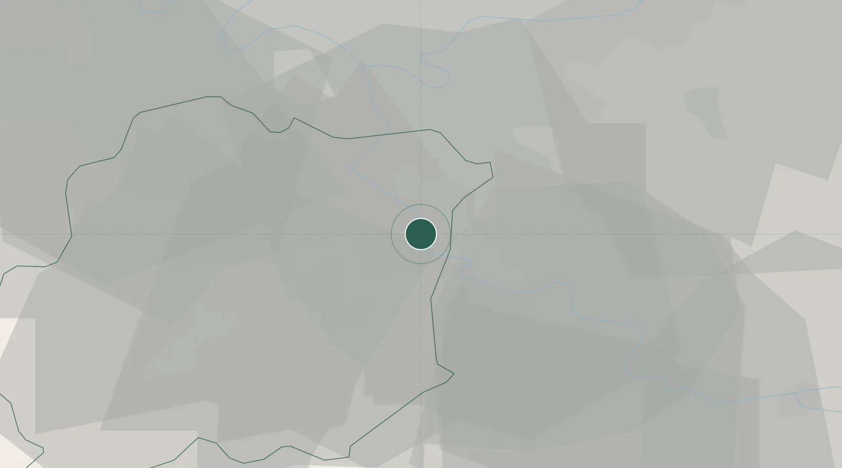
Corbeil-Essonnes
48.6000°, 2.4833°
40,527
Population
1
Transport functions
Transport Functions
Rail
Hub Profile
Place type
Populated place
Region
Île-de-France
Population
40,527
Time zone
Europe/Paris
Elevation
36 m
Location
Nearby Logistics Neighbours
Cities
- 1Villabé3 km
- 2Étiolles4 km
- 3Tigery4 km
- 4Morsang-sur-Seine4 km
- 5Évry4 km
Ports
- 1Port Of Rouen140 km
- 2Dieppe180 km
- 3Le Treport182 km
- 4Saint-Valery-Sur-Somme187 km
- 5Honfleur189 km
Airports
Trade Zones
- 1ZFU Corbeil-Evry4 km
- 2ZFU Epinay-sous-Sénart10 km
- 3ZFU Grigny Viry-Châtillon11 km
- 4ZFU Melun13 km
- 5ZFU Choisy-le-Roi et Orly19 km
DatabookThe Record of Consolidated Knowledge
France beyond logistics?