Transport Functions
Port
Rail
Hub Profile
Place type
Provincial seat
Region
Île-de-France
Population
51,900
Time zone
Europe/Paris
Elevation
81 m
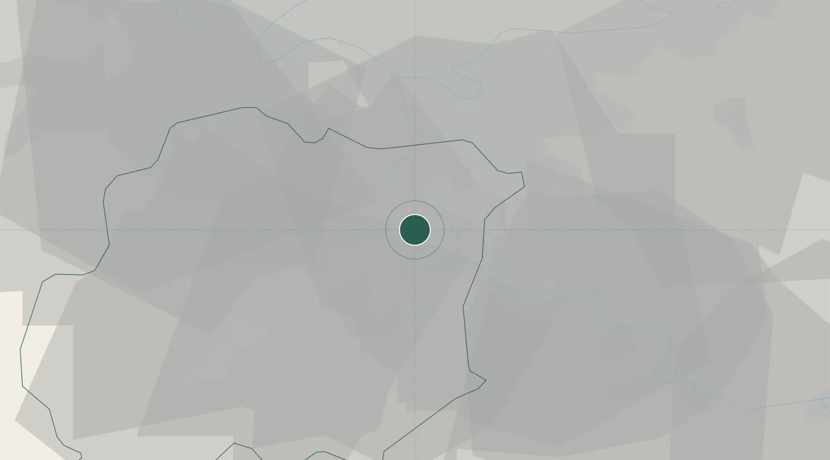
Location
Nearby Logistics Neighbours
Cities
- 1Étiolles3 km
- 2Soisy-sur-Seine4 km
- 3Villabé4 km
- 4Corbeil-Essonnes4 km
- 5Grigny5 km
Ports
- 1Port Of Rouen136 km
- 2Dieppe176 km
- 3Le Treport179 km
- 4Saint-Valery-Sur-Somme184 km
- 5Honfleur185 km
Airports
Trade Zones
- 1ZFU Corbeil-Evry2 km
- 2ZFU Grigny Viry-Châtillon7 km
- 3ZFU Epinay-sous-Sénart9 km
- 4ZFU Choisy-le-Roi et Orly16 km
- 5ZFU Melun17 km
DatabookThe Record of Consolidated Knowledge
France beyond logistics?